Distance to Upper Forni, California

Calculating Your Route
Just a moment while we process your request...
Location Information
-
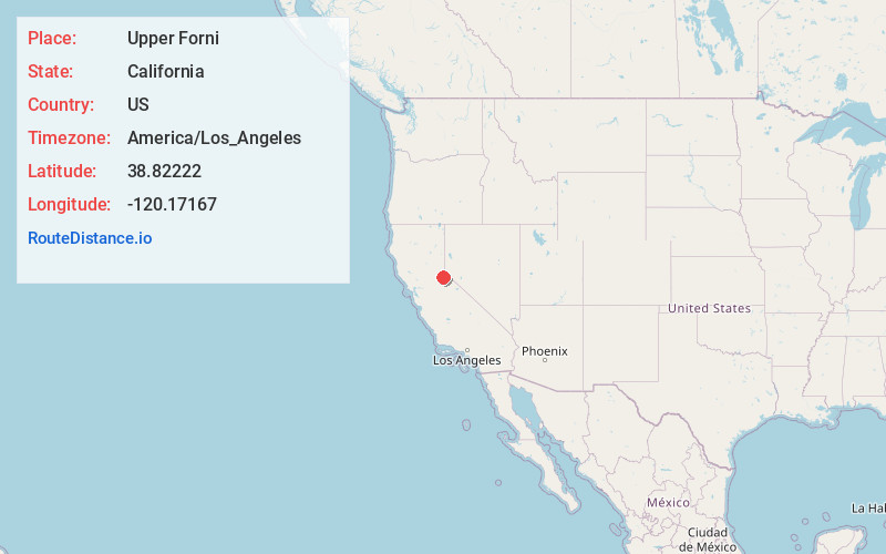
Full AddressUpper Forni, CA 95735
-
Coordinates38.82222, -120.17167
-
LocationUpper Forni , California , US
-
TimezoneAmerica/Los_Angeles
-
Current Local Time8:59:02 PM America/Los_AngelesThursday, June 19, 2025
-
Page Views0

Nearby Places
Found 10 places within 50 miles

Meyers
8.3 mi
13.4 km
Meyers, CA 96150
Get directions

Kirkwood
9.9 mi
15.9 km
Kirkwood, CA 95646
Get directions

Riverton
15.4 mi
24.8 km
Riverton, CA 95726
Get directions

Stateline
15.8 mi
25.4 km
Stateline, NV
Get directions

Round Hill Village
16.6 mi
26.7 km
Round Hill Village, NV 89448
Get directions

Zephyr Cove
17.1 mi
27.5 km
Zephyr Cove, NV 89448
Get directions

Tahoma
17.1 mi
27.5 km
Tahoma, CA 96142
Get directions

Kingsbury
17.8 mi
28.6 km
Kingsbury, NV
Get directions

Skyland
18.3 mi
29.5 km
Skyland, NV
Get directions

Lakeridge
19.1 mi
30.7 km
Lakeridge, NV 89413
Get directions
Location Links
Local Weather
Weather Information
Coming soon!
Location Map
Static map view of Upper Forni, California
Browse Places by Distance
Places within specific distances from Upper Forni
Short Distances
Long Distances
Click any distance to see all places within that range from Upper Forni. Distances shown in miles (1 mile ≈ 1.61 kilometers).