Distance to Stateline, Nevada

Calculating Your Route
Just a moment while we process your request...
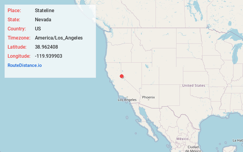
Location Information
-
Full AddressStateline, NV
-
Coordinates38.9624079, -119.9399029
-
LocationStateline , Nevada , US
-
TimezoneAmerica/Los_Angeles
-
Current Local Time2:25:17 AM America/Los_AngelesSaturday, June 21, 2025
-
Page Views0
About Stateline
Stateline is a census-designated place on the southeastern shore of Lake Tahoe in Douglas County, Nevada, United States. It lies next to the border with California and is conurbated with South Lake Tahoe. The population was 595 at the 2020 census.


Nearby Places
Found 10 places within 50 miles

Kingsbury
2.0 mi
3.2 km
Kingsbury, NV
Get directions

Genoa
5.8 mi
9.3 km
Genoa, NV
Get directions

Meyers
8.9 mi
14.3 km
Meyers, CA 96150
Get directions

Minden
9.4 mi
15.1 km
Minden, NV 89423
Get directions

Gardnerville
10.3 mi
16.6 km
Gardnerville, NV
Get directions

Gardnerville Ranchos
11.8 mi
19.0 km
Gardnerville Ranchos, NV 89460
Get directions

Indian Hills
12.0 mi
19.3 km
Indian Hills, NV
Get directions

Tahoma
12.4 mi
20.0 km
Tahoma, CA 96142
Get directions

East Valley
13.0 mi
20.9 km
East Valley, NV
Get directions

Johnson Lane
13.1 mi
21.1 km
Johnson Lane, NV 89423
Get directions
Location Links
Local Weather
Weather Information
Coming soon!
Location Map
Static map view of Stateline, Nevada
Browse Places by Distance
Places within specific distances from Stateline
Short Distances
Long Distances
Click any distance to see all places within that range from Stateline. Distances shown in miles (1 mile ≈ 1.61 kilometers).