Distance to Zephyr Cove, Nevada

Calculating Your Route
Just a moment while we process your request...
Location Information
-
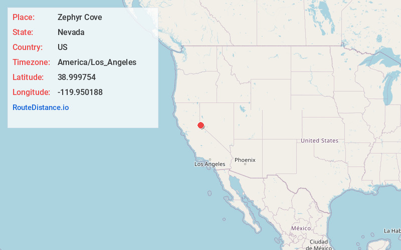
Full AddressZephyr Cove, NV 89448
-
Coordinates38.9997537, -119.950188
-
LocationZephyr Cove , Nevada , US
-
TimezoneAmerica/Los_Angeles
-
Current Local Time9:47:34 AM America/Los_AngelesThursday, June 19, 2025
-
Page Views0
About Zephyr Cove
Zephyr Cove is a community and census-designated place in Douglas County, Nevada, United States. The population was 565 at the 2010 census. Prior to 2010 it was part of the Zephyr Cove–Round Hill Village CDP.


Nearby Places
Found 10 places within 50 miles

Round Hill Village
1.2 mi
1.9 km
Round Hill Village, NV 89448
Get directions

Stateline
2.6 mi
4.2 km
Stateline, NV
Get directions

Kingsbury
2.8 mi
4.5 km
Kingsbury, NV
Get directions

Genoa
5.5 mi
8.9 km
Genoa, NV
Get directions

Minden
10.4 mi
16.7 km
Minden, NV 89423
Get directions

Tahoma
10.6 mi
17.1 km
Tahoma, CA 96142
Get directions

Indian Hills
10.7 mi
17.2 km
Indian Hills, NV
Get directions

Meyers
11.0 mi
17.7 km
Meyers, CA 96150
Get directions

Gardnerville
11.5 mi
18.5 km
Gardnerville, NV
Get directions

Johnson Lane
12.7 mi
20.4 km
Johnson Lane, NV 89423
Get directions
Location Links
Local Weather
Weather Information
Coming soon!
Location Map
Static map view of Zephyr Cove, Nevada
Browse Places by Distance
Places within specific distances from Zephyr Cove
Short Distances
Long Distances
Click any distance to see all places within that range from Zephyr Cove. Distances shown in miles (1 mile ≈ 1.61 kilometers).