Distance to Echo Lake, California

Calculating Your Route
Just a moment while we process your request...
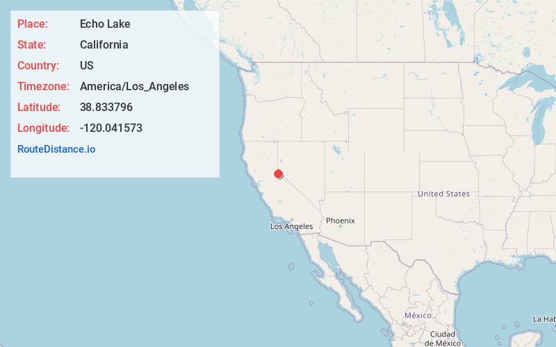
Location Information
-
Full AddressEcho Lake, CA 95721
-
Coordinates38.8337963, -120.0415726
-
LocationEcho Lake , California , US
-
TimezoneAmerica/Los_Angeles
-
Current Local Time10:13:39 PM America/Los_AngelesSaturday, June 21, 2025
-
Page Views0
About Echo Lake
Echo Lake is a small unincorporated community in El Dorado County, California, United States, along U.S. Route 50 in the mountains of the Sierra Nevada. It is 1.5 miles north-northwest of Echo Summit. Echo Lake's nearest neighboring town is Little Norway. The ZIP code is 95721. The community is inside area code 530.


Nearby Places
Found 10 places within 50 miles

Meyers
1.6 mi
2.6 km
Meyers, CA 96150
Get directions

Nebelhorn
1.6 mi
2.6 km
Nebelhorn, CA 96150
Get directions

Upper Forni
7.0 mi
11.3 km
Upper Forni, CA 95735
Get directions

Kirkwood
9.2 mi
14.8 km
Kirkwood, CA 95646
Get directions
Edgewood
10.3 mi
16.6 km
Edgewood, Stateline, NV 89449
Get directions

Stateline
10.4 mi
16.7 km
Stateline, NV
Get directions

Round Hill Village
11.7 mi
18.8 km
Round Hill Village, NV 89448
Get directions

Kingsbury
12.3 mi
19.8 km
Kingsbury, NV
Get directions

Zephyr Cove
12.5 mi
20.1 km
Zephyr Cove, NV 89448
Get directions

Alpine Village
12.5 mi
20.1 km
Alpine Village, CA 96120
Get directions
Location Links
Local Weather
Weather Information
Coming soon!
Location Map
Static map view of Echo Lake, California
Browse Places by Distance
Places within specific distances from Echo Lake
Short Distances
Long Distances
Click any distance to see all places within that range from Echo Lake. Distances shown in miles (1 mile ≈ 1.61 kilometers).