Distance to Emerson, Kentucky

Calculating Your Route
Just a moment while we process your request...
Location Information
-
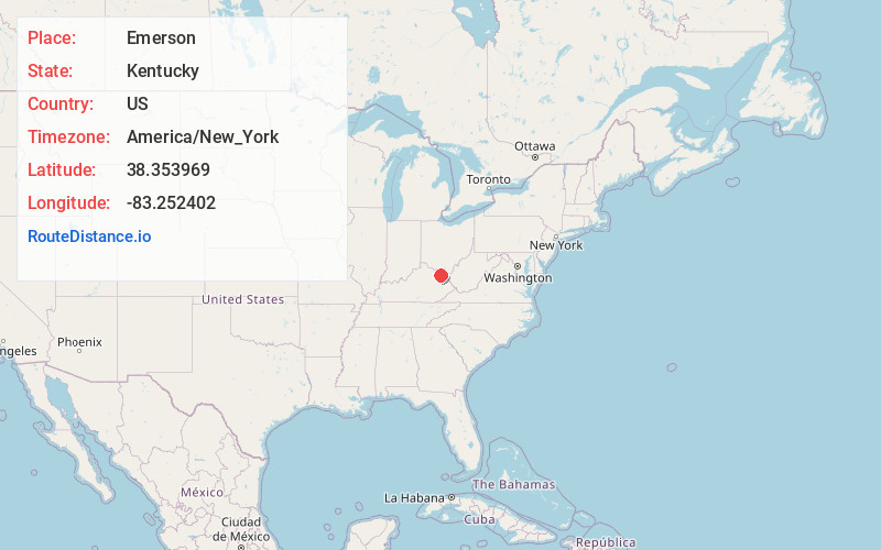
Full AddressEmerson, KY 41179
-
Coordinates38.3539689, -83.252402
-
LocationEmerson , Kentucky , US
-
TimezoneAmerica/New_York
-
Current Local Time2:56:56 AM America/New_YorkFriday, June 13, 2025
-
Page Views0
About Emerson
Emerson is an unincorporated community in Lewis County, Kentucky, United States. Emerson is located at the junction of Kentucky Route 59 and Kentucky Route 1662 5.6 miles northwest of Olive Hill. Emerson had a post office, which closed on September 20, 1997.
Nearby Places
Found 10 places within 50 miles

Rose Hill
1.6 mi
2.6 km
Rose Hill, KY 41164
Get directions

Olive Hill
5.6 mi
9.0 km
Olive Hill, KY 41164
Get directions
Stricklett
11.6 mi
18.7 km
Stricklett, KY 41179
Get directions
Dewdrop
15.6 mi
25.1 km
Dewdrop, KY 41171
Get directions

Morehead
15.8 mi
25.4 km
Morehead, KY 40351
Get directions

Grayson
16.5 mi
26.6 km
Grayson, KY 41143
Get directions
Pactolus
17.2 mi
27.7 km
Pactolus, KY 41143
Get directions

Vanceburg
17.3 mi
27.8 km
Vanceburg, KY 41179
Get directions
Fairview Hill
18.7 mi
30.1 km
Fairview Hill, KY 41143
Get directions
Lakeview Heights
19.6 mi
31.5 km
Lakeview Heights, KY 40351
Get directions
Location Links
Local Weather
Weather Information
Coming soon!
Location Map
Static map view of Emerson, Kentucky
Browse Places by Distance
Places within specific distances from Emerson
Short Distances
Long Distances
Click any distance to see all places within that range from Emerson. Distances shown in miles (1 mile ≈ 1.61 kilometers).