Distance to Englund, Minnesota

Calculating Your Route
Just a moment while we process your request...
Location Information
-
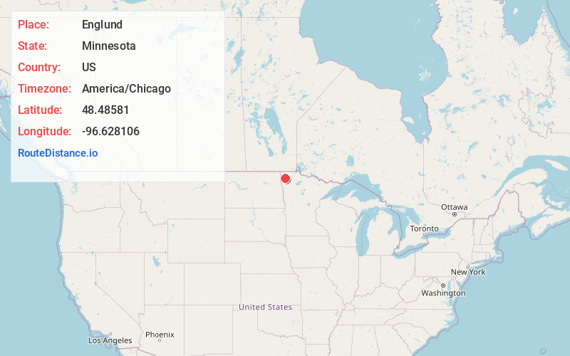
Full AddressEnglund, MN 56758
-
Coordinates48.4858097, -96.6281057
-
LocationEnglund , Minnesota , US
-
TimezoneAmerica/Chicago
-
Current Local Time5:43:46 PM America/ChicagoSaturday, June 21, 2025
-
Page Views0
Nearby Places
Found 10 places within 50 miles

Florian
3.0 mi
4.8 km
Florian, MN 56757
Get directions
Karlstad
8.1 mi
13.0 km
Karlstad, MN 56732
Get directions

Strandquist
8.3 mi
13.4 km
Strandquist, MN 56758
Get directions
Ellerth
11.4 mi
18.3 km
Ellerth, MN 56738
Get directions
Stephen
11.5 mi
18.5 km
Stephen, MN 56757
Get directions
Halma
12.2 mi
19.6 km
Halma, MN 56729
Get directions
Enok
13.1 mi
21.1 km
Enok, MN 56733
Get directions
Donaldson
13.7 mi
22.0 km
Donaldson, MN 56720
Get directions

Argyle
13.8 mi
22.2 km
Argyle, MN 56713
Get directions

Newfolden
16.4 mi
26.4 km
Newfolden, MN 56738
Get directions
Location Links
Local Weather
Weather Information
Coming soon!
Location Map
Static map view of Englund, Minnesota
Browse Places by Distance
Places within specific distances from Englund
Short Distances
Long Distances
Click any distance to see all places within that range from Englund. Distances shown in miles (1 mile ≈ 1.61 kilometers).