Distance to Eugene Airport, Oregon

Calculating Your Route
Just a moment while we process your request...
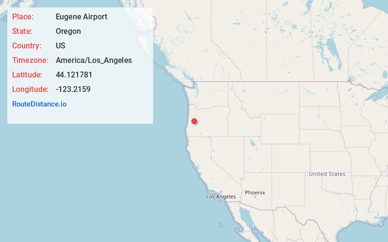
Location Information
-
Full AddressEugene Airport (EUG), 28801 Douglas Dr, Eugene, OR 97402
-
Coordinates44.1217811, -123.2159003
-
Street28801 Douglas Dr
-
LocationEugene , Oregon , US
-
TimezoneAmerica/Los_Angeles
-
Current Local Time12:46:15 AM America/Los_AngelesThursday, June 5, 2025
-
Website
-
Page Views0
About Eugene Airport
Small airport offering regional flights, plus an on-site art gallery & live music.


Nearby Places
Found 10 places within 50 miles

Alvadore
2.4 mi
3.9 km
Alvadore, OR 97448
Get directions

River Rd
4.8 mi
7.7 km
River Rd, OR 97404
Get directions
Franklin
5.1 mi
8.2 km
Franklin, OR 97448
Get directions

Fern Ridge Shores
5.3 mi
8.5 km
Fern Ridge Shores, OR 97487
Get directions

Cheshire
5.8 mi
9.3 km
Cheshire, OR
Get directions

Junction City
6.8 mi
10.9 km
Junction City, OR 97448
Get directions
Goldson
6.9 mi
11.1 km
Goldson, OR 97448
Get directions

Coburg
7.5 mi
12.1 km
Coburg, OR 97408
Get directions

Elmira
7.8 mi
12.6 km
Elmira, OR
Get directions

Eugene
7.9 mi
12.7 km
Eugene, OR
Get directions
Location Links
Local Weather
Weather Information
Coming soon!
Location Map
Static map view of Eugene Airport, Oregon
Browse Places by Distance
Places within specific distances from Eugene Airport
Short Distances
Long Distances
Click any distance to see all places within that range from Eugene Airport. Distances shown in miles (1 mile ≈ 1.61 kilometers).