Distance to Goldson, Oregon

Calculating Your Route
Just a moment while we process your request...
Location Information
-
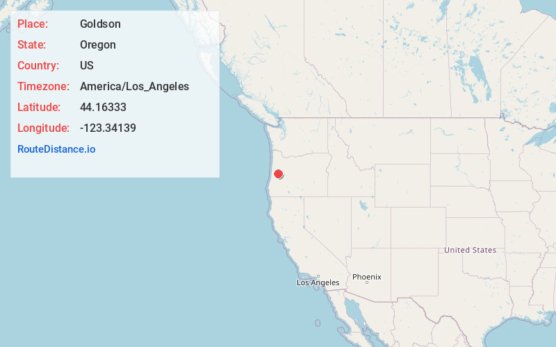
Full AddressGoldson, OR 97448
-
Coordinates44.16333, -123.34139
-
LocationGoldson , Oregon , US
-
TimezoneAmerica/Los_Angeles
-
Current Local Time9:00:48 AM America/Los_AngelesSaturday, May 31, 2025
-
Page Views0
About Goldson
Goldson is an unincorporated community in Lane County, Oregon, United States on Oregon Route 36 near Bear Creek, about 3.5 miles from Cheshire. Goldson post office was established in 1891 and named for the first postmaster, J. M. Goldson. It ran until 1934. The community's elevation is 404 feet.
Nearby Places
Found 10 places within 50 miles

Cheshire
3.3 mi
5.3 km
Cheshire, OR
Get directions

Low Pass
5.8 mi
9.3 km
Low Pass, OR 97419
Get directions

Elmira
6.6 mi
10.6 km
Elmira, OR
Get directions

Long Tom River
7.3 mi
11.7 km
Long Tom River, Oregon
Get directions

Junction City
7.8 mi
12.6 km
Junction City, OR 97448
Get directions

Veneta
7.9 mi
12.7 km
Veneta, OR 97487
Get directions

Horton
8.1 mi
13.0 km
Horton, OR 97412
Get directions
Lancaster
9.6 mi
15.4 km
Lancaster, OR 97446
Get directions

Monroe
10.6 mi
17.1 km
Monroe, OR 97456
Get directions

Harrisburg
11.4 mi
18.3 km
Harrisburg, OR 97446
Get directions
Location Links
Local Weather
Weather Information
Coming soon!
Location Map
Static map view of Goldson, Oregon
Browse Places by Distance
Places within specific distances from Goldson
Short Distances
Long Distances
Click any distance to see all places within that range from Goldson. Distances shown in miles (1 mile ≈ 1.61 kilometers).