Distance to Falcon, Kentucky

Calculating Your Route
Just a moment while we process your request...
Location Information
-
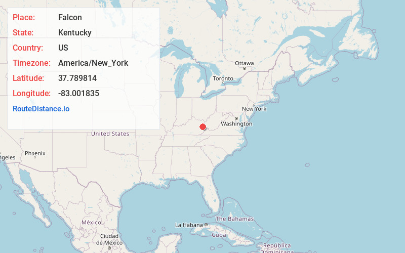
Full AddressFalcon, KY 41465
-
Coordinates37.7898143, -83.0018345
-
LocationFalcon , Kentucky , US
-
TimezoneAmerica/New_York
-
Current Local Time9:48:07 PM America/New_YorkWednesday, June 25, 2025
-
Page Views0
About Falcon
Falcon is an unincorporated community in Magoffin County, Kentucky, United States. It lies along Route 40 northeast of the city of Salyersville, the county seat of Magoffin County. Its elevation is 974 feet. It has a post office with the ZIP code 41426.
Nearby Places
Found 10 places within 50 miles

Cyrus
2.1 mi
3.4 km
Cyrus, KY 41465
Get directions
Leatha
2.1 mi
3.4 km
Leatha, KY 41465
Get directions
Wheelersburg
2.6 mi
4.2 km
Wheelersburg, KY 41465
Get directions
Conley
2.9 mi
4.7 km
Conley, KY 41465
Get directions
Oil Springs
3.5 mi
5.6 km
Oil Springs, KY 41256
Get directions
Flat Fork
3.6 mi
5.8 km
Flat Fork, KY 41465
Get directions
Hargis
3.8 mi
6.1 km
Hargis, KY 41238
Get directions
Burning Fork
4.1 mi
6.6 km
Burning Fork, KY 41465
Get directions

Salyersville
4.5 mi
7.2 km
Salyersville, KY 41465
Get directions
Lickburg
4.6 mi
7.4 km
Lickburg, KY 41465
Get directions
Location Links
Local Weather
Weather Information
Coming soon!
Location Map
Static map view of Falcon, Kentucky
Browse Places by Distance
Places within specific distances from Falcon
Short Distances
Long Distances
Click any distance to see all places within that range from Falcon. Distances shown in miles (1 mile ≈ 1.61 kilometers).