Distance to Farraday, Kentucky

Calculating Your Route
Just a moment while we process your request...
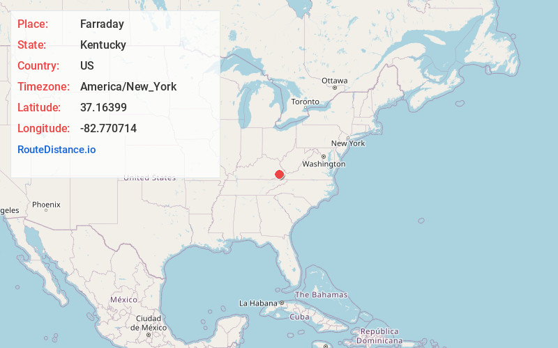
Location Information
-
Full AddressFarraday, KY 41855
-
Coordinates37.1639896, -82.7707141
-
LocationKentucky , US
-
TimezoneAmerica/New_York
-
Current Local Time2:18:54 PM America/New_YorkTuesday, July 1, 2025
-
Page Views0
About Farraday
Farraday is an unincorporated community and coal town in Letcher County, Kentucky, United States. The now-defunct post office was located on Thornton Creek, a tributary of the North Fork of the Kentucky River.
Nearby Places
Found 10 places within 50 miles

Thornton
0.8 mi
1.3 km
Thornton, KY 41855
Get directions
Southdown
1.5 mi
2.4 km
Southdown, KY 41815
Get directions
Kona
1.8 mi
2.9 km
Kona, KY 41858
Get directions
Seco
2.2 mi
3.5 km
Seco, KY 41849
Get directions
Ermine
3.2 mi
5.1 km
Ermine, KY 41837
Get directions
Lucastown
3.3 mi
5.3 km
Lucastown, KY 41855
Get directions
Tolliver Town
3.6 mi
5.8 km
Tolliver Town, KY 41537
Get directions
Bellcraft
3.6 mi
5.8 km
Bellcraft, KY 41858
Get directions
Polly
4.0 mi
6.4 km
Polly, KY 41824
Get directions
Crown
4.0 mi
6.4 km
Crown, KY 41858
Get directions
Location Links
Local Weather
Weather Information
Coming soon!
Location Map
Static map view of Farraday, Kentucky
Browse Places by Distance
Places within specific distances from Farraday
Short Distances
Long Distances
Click any distance to see all places within that range from Farraday. Distances shown in miles (1 mile ≈ 1.61 kilometers).