Distance to Faucett, Missouri

Calculating Your Route
Just a moment while we process your request...
Location Information
-
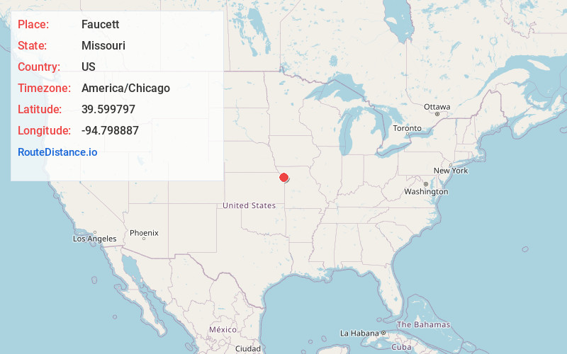
Full AddressFaucett, MO 64448
-
Coordinates39.5997974, -94.7988868
-
LocationFaucett , Missouri , US
-
TimezoneAmerica/Chicago
-
Current Local Time3:42:45 PM America/ChicagoWednesday, June 18, 2025
-
Page Views0
About Faucett
Faucett is an unincorporated community and census-designated place in southern Buchanan County, Missouri, United States. It is located sixteen miles north of Platte City on Interstate 29 /U.S. Route 71. The community is part of the St. Joseph, MO–KS Metropolitan Statistical Area.

Nearby Places
Found 10 places within 50 miles

Agency
4.4 mi
7.1 km
Agency, MO
Get directions

Dearborn
5.6 mi
9.0 km
Dearborn, MO 64439
Get directions

De Kalb
6.8 mi
10.9 km
De Kalb, MO 64440
Get directions
Camden Point
10.6 mi
17.1 km
Camden Point, MO
Get directions
Gower
10.7 mi
17.2 km
Gower, MO 64454
Get directions

Edgerton
11.0 mi
17.7 km
Edgerton, MO 64444
Get directions

Elwood
11.5 mi
18.5 km
Elwood, KS
Get directions

St Joseph
11.9 mi
19.2 km
St Joseph, MO
Get directions
Easton
11.9 mi
19.2 km
Easton, MO 64443
Get directions

Rushville
12.1 mi
19.5 km
Rushville, MO 64484
Get directions
Location Links
Local Weather
Weather Information
Coming soon!
Location Map
Static map view of Faucett, Missouri
Browse Places by Distance
Places within specific distances from Faucett
Short Distances
Long Distances
Click any distance to see all places within that range from Faucett. Distances shown in miles (1 mile ≈ 1.61 kilometers).