Distance to Ferndale, Oregon

Calculating Your Route
Just a moment while we process your request...
Location Information
-
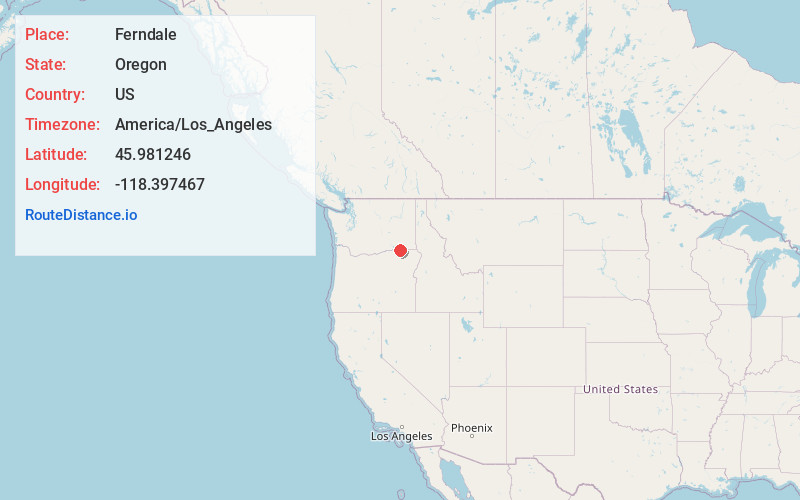
Full AddressFerndale, OR 97862
-
Coordinates45.9812463, -118.3974671
-
LocationFerndale , Oregon , US
-
TimezoneAmerica/Los_Angeles
-
Current Local Time4:29:37 PM America/Los_AngelesFriday, June 20, 2025
-
Page Views0
About Ferndale
Ferndale is an unincorporated community in Umatilla County, Oregon, United States. It is near the Oregon–Washington border east of Oregon Route 339 and west of Oregon Route 11 about 4 miles north of Milton-Freewater.
Nearby Places
Found 10 places within 50 miles

Crockett
0.5 mi
0.8 km
Crockett, OR 97862
Get directions

Stateline
1.6 mi
2.6 km
Stateline, WA 99362
Get directions
Cobb
1.8 mi
2.9 km
Cobb, OR 97862
Get directions

Milton-Freewater
3.4 mi
5.5 km
Milton-Freewater, OR 97862
Get directions
Baker-Langdon
4.6 mi
7.4 km
Baker-Langdon, WA 99362
Get directions

College Place
4.7 mi
7.6 km
College Place, WA
Get directions

Umapine
4.8 mi
7.7 km
Umapine, OR 97862
Get directions

Garrett
5.5 mi
8.9 km
Garrett, WA 99362
Get directions

Walla Walla
6.3 mi
10.1 km
Walla Walla, WA 99362
Get directions
Pedigo
7.0 mi
11.3 km
Pedigo, WA 99362
Get directions
Location Links
Local Weather
Weather Information
Coming soon!
Location Map
Static map view of Ferndale, Oregon
Browse Places by Distance
Places within specific distances from Ferndale
Short Distances
Long Distances
Click any distance to see all places within that range from Ferndale. Distances shown in miles (1 mile ≈ 1.61 kilometers).