Distance to Fiddle Bow, Kentucky

Calculating Your Route
Just a moment while we process your request...
Location Information
-
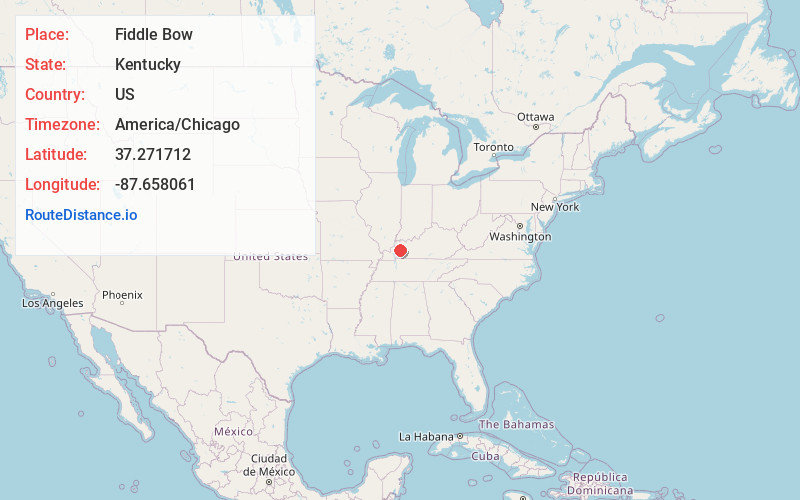
Full AddressFiddle Bow, KY 42408
-
Coordinates37.2717123, -87.658061
-
LocationKentucky , US
-
TimezoneAmerica/Chicago
-
Current Local Time9:49:55 AM America/ChicagoTuesday, July 1, 2025
-
Page Views0
About Fiddle Bow
Fiddle Bow is an unincorporated community located in southwest Hopkins County, Kentucky, United States. It was populated as early as 1913. The town takes its name from a black oak tree that once lived in the area that had the appearance of a violin bow.
Nearby Places
Found 10 places within 50 miles

Beulah
1.4 mi
2.3 km
Beulah, KY 42408
Get directions
Sixth Vein
1.6 mi
2.6 km
Sixth Vein, KY 42408
Get directions
Rabbit Ridge
2.4 mi
3.9 km
Rabbit Ridge, KY 42441
Get directions
Charleston
3.3 mi
5.3 km
Charleston, KY 42408
Get directions
Richland
3.5 mi
5.6 km
Richland, KY 42431
Get directions
Coiltown
5.5 mi
8.9 km
Coiltown, KY 42441
Get directions
Ilsley
5.8 mi
9.3 km
Ilsley, KY 42408
Get directions
Dalton
6.0 mi
9.7 km
Dalton, KY 42408
Get directions
Kirkwood Springs
6.0 mi
9.7 km
Kirkwood Springs, KY 42408
Get directions
Pee Vee
6.9 mi
11.1 km
Pee Vee, KY 42431
Get directions
Location Links
Local Weather
Weather Information
Coming soon!
Location Map
Static map view of Fiddle Bow, Kentucky
Browse Places by Distance
Places within specific distances from Fiddle Bow
Short Distances
Long Distances
Click any distance to see all places within that range from Fiddle Bow. Distances shown in miles (1 mile ≈ 1.61 kilometers).