Distance to Ilsley, Kentucky

Calculating Your Route
Just a moment while we process your request...
Location Information
-
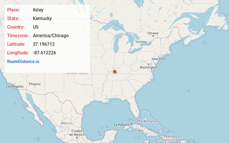
Full AddressIlsley, KY 42408
-
Coordinates37.1967122, -87.6122261
-
LocationKentucky , US
-
TimezoneAmerica/Chicago
-
Current Local Time8:15:00 AM America/ChicagoMonday, June 23, 2025
-
Page Views0
About Ilsley
Ilsley is an unincorporated community and coal town located in Hopkins County, Kentucky, United States.
An act of incorporation for the town was passed in 1890. By 1902 the town had a post office.
Nearby Places
Found 10 places within 50 miles

St Charles
3.2 mi
5.1 km
St Charles, KY
Get directions

Dawson Springs
4.9 mi
7.9 km
Dawson Springs, KY 42408
Get directions

Earlington
7.7 mi
12.4 km
Earlington, KY
Get directions

Mortons Gap
8.0 mi
12.9 km
Mortons Gap, KY
Get directions

Nortonville
8.7 mi
14.0 km
Nortonville, KY 42442
Get directions

Madisonville
11.0 mi
17.7 km
Madisonville, KY 42431
Get directions

Manitou
12.2 mi
19.6 km
Manitou, KY
Get directions

Crofton
12.4 mi
20.0 km
Crofton, KY 42217
Get directions

White Plains
12.6 mi
20.3 km
White Plains, KY 42464
Get directions

Nebo
13.0 mi
20.9 km
Nebo, KY 42441
Get directions
Location Links
Local Weather
Weather Information
Coming soon!
Location Map
Static map view of Ilsley, Kentucky
Browse Places by Distance
Places within specific distances from Ilsley
Short Distances
Long Distances
Click any distance to see all places within that range from Ilsley. Distances shown in miles (1 mile ≈ 1.61 kilometers).