Distance to Fieldton, Texas

Calculating Your Route
Just a moment while we process your request...
Location Information
-
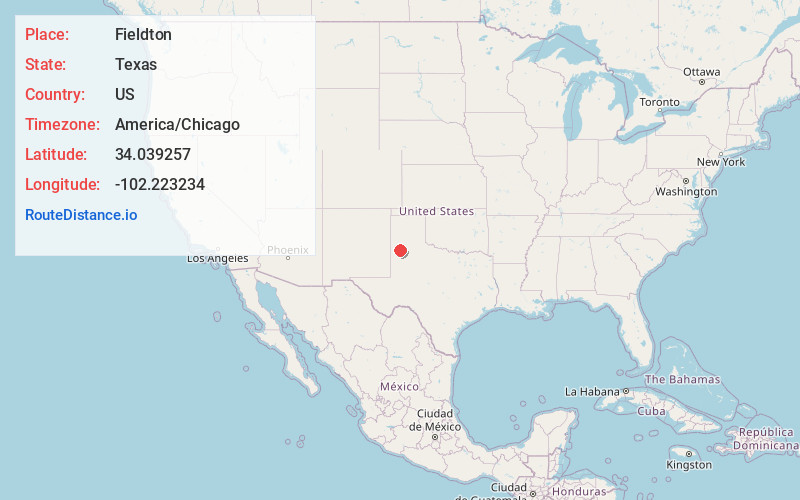
Full AddressFieldton, TX 79339
-
Coordinates34.0392566, -102.2232337
-
LocationFieldton , Texas , US
-
TimezoneAmerica/Chicago
-
Current Local Time1:40:35 PM America/ChicagoFriday, June 13, 2025
-
Page Views0
About Fieldton
Fieldton is an unincorporated community in Lamb County, Texas, United States. Fieldton has a post office with the ZIP code 79326.
Nearby Places
Found 10 places within 50 miles

Corry
7.0 mi
11.3 km
Corry, TX 79041
Get directions
Spade
8.8 mi
14.2 km
Spade, TX 79369
Get directions

Littlefield
10.2 mi
16.4 km
Littlefield, TX 79339
Get directions
Circle
10.3 mi
16.6 km
Circle, TX 79064
Get directions

Olton
11.1 mi
17.9 km
Olton, TX 79064
Get directions
Amherst
11.2 mi
18.0 km
Amherst, TX
Get directions
Bainer
12.3 mi
19.8 km
Bainer, TX 79339
Get directions
Cotton Center
13.6 mi
21.9 km
Cotton Center, TX
Get directions

Springlake
14.1 mi
22.7 km
Springlake, TX 79082
Get directions
Lums Chapel
15.5 mi
24.9 km
Lums Chapel, TX 79339
Get directions
Location Links
Local Weather
Weather Information
Coming soon!
Location Map
Static map view of Fieldton, Texas
Browse Places by Distance
Places within specific distances from Fieldton
Short Distances
Long Distances
Click any distance to see all places within that range from Fieldton. Distances shown in miles (1 mile ≈ 1.61 kilometers).