Distance to Spade, Texas

Calculating Your Route
Just a moment while we process your request...
Location Information
-
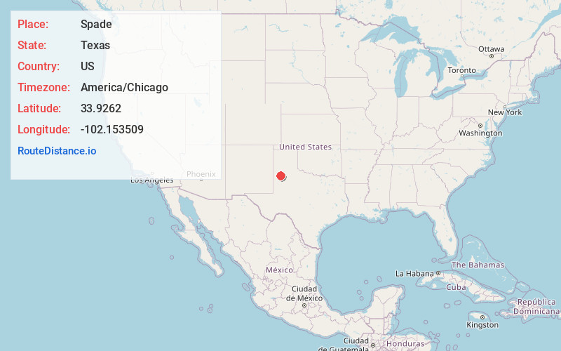
Full AddressSpade, TX 79369
-
Coordinates33.9262001, -102.1535093
-
LocationSpade , Texas , US
-
TimezoneAmerica/Chicago
-
Current Local Time1:38:08 PM America/ChicagoTuesday, May 20, 2025
-
Page Views0
About Spade
Spade is an unincorporated community and census-designated place in Lamb County, Texas, United States. The population was 71 at the 2020 census.
Nearby Places
Found 10 places within 50 miles

Anton
8.0 mi
12.9 km
Anton, TX 79313
Get directions

Littlefield
9.8 mi
15.8 km
Littlefield, TX 79339
Get directions

Amherst
16.1 mi
25.9 km
Amherst, TX
Get directions
Whitharral
16.4 mi
26.4 km
Whitharral, TX
Get directions

Olton
17.7 mi
28.5 km
Olton, TX 79064
Get directions

Shallowater
18.7 mi
30.1 km
Shallowater, TX 79363
Get directions

Abernathy
19.0 mi
30.6 km
Abernathy, TX 79311
Get directions

Hale Center
20.1 mi
32.3 km
Hale Center, TX
Get directions
New Deal
22.4 mi
36.0 km
New Deal, TX 79403
Get directions

Springlake
22.8 mi
36.7 km
Springlake, TX 79082
Get directions
Location Links
Local Weather
Weather Information
Coming soon!
Location Map
Static map view of Spade, Texas
Browse Places by Distance
Places within specific distances from Spade
Short Distances
Long Distances
Click any distance to see all places within that range from Spade. Distances shown in miles (1 mile ≈ 1.61 kilometers).