Distance to Fine Gold, California

Calculating Your Route
Just a moment while we process your request...
Location Information
-
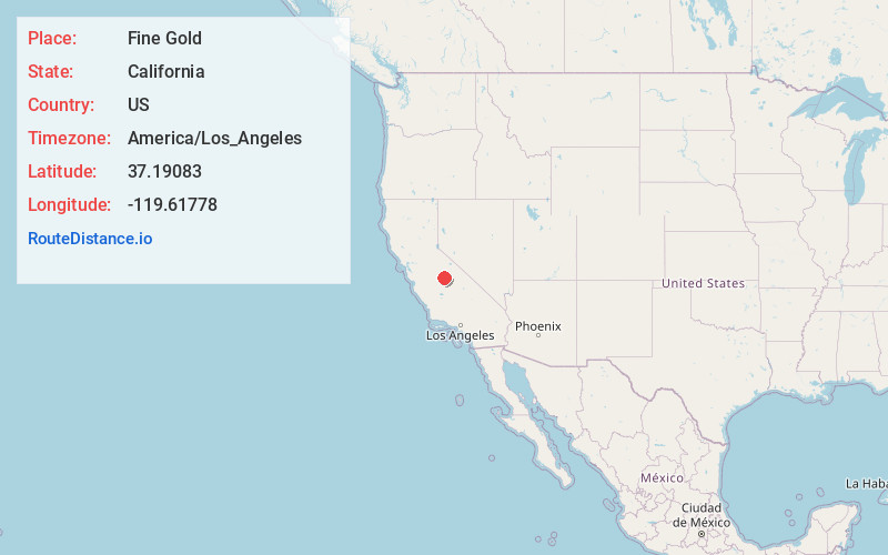
Full AddressFine Gold, CA 93645
-
Coordinates37.19083, -119.61778
-
LocationFine Gold , California , US
-
TimezoneAmerica/Los_Angeles
-
Current Local Time1:09:07 PM America/Los_AngelesMonday, June 2, 2025
-
Page Views0
About Fine Gold
Fine Gold Creek, in Fine Gold Gulch, is a creek in a gulch in Madera County, California that is a river tributary of the San Joaquin River.
It is approximately 18 miles from its mouth on the San Joaquin through where it has two forks to its headwaters.
Nearby Places
Found 10 places within 50 miles

Hildreth
5.7 mi
9.2 km
Hildreth, CA 93626
Get directions
O'Neals
6.1 mi
9.8 km
O'Neals, CA 93645
Get directions

North Fork
6.5 mi
10.5 km
North Fork, CA
Get directions

Coarsegold
6.7 mi
10.8 km
Coarsegold, CA 93614
Get directions

Wishon
8.2 mi
13.2 km
Wishon, CA 93669
Get directions

Yosemite Lakes
8.5 mi
13.7 km
Yosemite Lakes, CA
Get directions

Oakhurst
9.6 mi
15.4 km
Oakhurst, CA
Get directions

Bass Lake
9.9 mi
15.9 km
Bass Lake, CA
Get directions

Auberry
10.5 mi
16.9 km
Auberry, CA
Get directions
Indian Springs
11.4 mi
18.3 km
Indian Springs, CA 93626
Get directions
Location Links
Local Weather
Weather Information
Coming soon!
Location Map
Static map view of Fine Gold, California
Browse Places by Distance
Places within specific distances from Fine Gold
Short Distances
Long Distances
Click any distance to see all places within that range from Fine Gold. Distances shown in miles (1 mile ≈ 1.61 kilometers).