Distance to Flat Branch, North Carolina

Calculating Your Route
Just a moment while we process your request...
Location Information
-
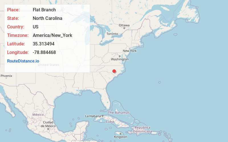
Full AddressFlat Branch, NC 28323
-
Coordinates35.3134939, -78.8844679
-
LocationNorth Carolina , US
-
TimezoneAmerica/New_York
-
Current Local Time4:32:45 AM America/New_YorkSunday, May 18, 2025
-
Page Views0
About Flat Branch
Flat Branch is an unincorporated community located in the Anderson Creek Township of Harnett County, North Carolina, United States. It is a part of the Dunn Micropolitan Area, which is also a part of the greater Raleigh–Durham–Cary Combined Statistical Area as defined by the United States Census Bureau.
Nearby Places
Found 10 places within 50 miles

Anderson Creek
2.8 mi
4.5 km
Anderson Creek, NC
Get directions
Bunnlevel
5.9 mi
9.5 km
Bunnlevel, NC 28323
Get directions

Lillington
7.1 mi
11.4 km
Lillington, NC
Get directions
Mamers
7.7 mi
12.4 km
Mamers, NC 27546
Get directions

Buies Creek
10.9 mi
17.5 km
Buies Creek, NC 27546
Get directions

Erwin
11.8 mi
19.0 km
Erwin, NC
Get directions

Spring Lake
11.8 mi
19.0 km
Spring Lake, NC
Get directions

Coats
13.6 mi
21.9 km
Coats, NC
Get directions


Leaflet © OpenStreetMap contributors
Location Links
Local Weather
Weather Information
Coming soon!
Location Map
Static map view of Flat Branch, North Carolina
Browse Places by Distance
Places within specific distances from Flat Branch
Short Distances
Long Distances
Click any distance to see all places within that range from Flat Branch. Distances shown in miles (1 mile ≈ 1.61 kilometers).