Distance to Flint, Texas

Calculating Your Route
Just a moment while we process your request...
Location Information
-
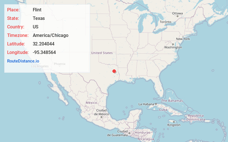
Full AddressFlint, TX 75762
-
Coordinates32.2040437, -95.3485635
-
LocationFlint , Texas , US
-
TimezoneAmerica/Chicago
-
Current Local Time2:31:07 AM America/ChicagoWednesday, May 21, 2025
-
Page Views0
About Flint
Flint is an unincorporated community in southeastern Smith County, Texas, United States. It lies along FM 2493, south of the city of Tyler, the county seat of Smith County. Its elevation is 522 feet. Although Flint is unincorporated, it has a post office, with the ZIP code of 75762.


Nearby Places
Found 10 places within 50 miles

Gresham
1.7 mi
2.7 km
Gresham, TX 75762
Get directions
Noonday
4.0 mi
6.4 km
Noonday, TX
Get directions

Bullard
4.7 mi
7.6 km
Bullard, TX
Get directions
Teaselville
5.1 mi
8.2 km
Teaselville, TX 75757
Get directions
Walnut Grove
5.7 mi
9.2 km
Walnut Grove, TX 75703
Get directions

Whitehouse
7.4 mi
11.9 km
Whitehouse, TX 75791
Get directions
Mt Selman
10.1 mi
16.3 km
Mt Selman, TX 75757
Get directions

Coffee City
10.2 mi
16.4 km
Coffee City, TX
Get directions

Chandler
10.5 mi
16.9 km
Chandler, TX
Get directions

Tyler
10.5 mi
16.9 km
Tyler, TX
Get directions
Location Links
Local Weather
Weather Information
Coming soon!
Location Map
Static map view of Flint, Texas
Browse Places by Distance
Places within specific distances from Flint
Short Distances
Long Distances
Click any distance to see all places within that range from Flint. Distances shown in miles (1 mile ≈ 1.61 kilometers).