Distance to Flint Hill, Kentucky

Calculating Your Route
Just a moment while we process your request...
Location Information
-
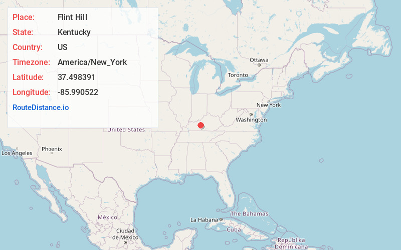
Full AddressFlint Hill, KY 42776
-
Coordinates37.4983912, -85.9905215
-
LocationKentucky , US
-
TimezoneAmerica/New_York
-
Current Local Time6:32:06 AM America/New_YorkThursday, May 22, 2025
-
Page Views0
Nearby Places
Found 10 places within 50 miles

Sonora
5.6 mi
9.0 km
Sonora, KY
Get directions

Upton
5.8 mi
9.3 km
Upton, KY 42784
Get directions

Nolin
6.5 mi
10.5 km
Nolin, KY 42776
Get directions
Star Mills
7.0 mi
11.3 km
Star Mills, KY 42740
Get directions

Eastview
7.2 mi
11.6 km
Eastview, KY 42732
Get directions
Wheelers Mill
7.5 mi
12.1 km
Wheelers Mill, KY 42726
Get directions

Big Clifty
9.5 mi
15.3 km
Big Clifty, KY
Get directions
Bonnieville
9.6 mi
15.4 km
Bonnieville, KY 42713
Get directions
Maxine
10.9 mi
17.5 km
Maxine, KY 42776
Get directions

Cecilia
11.7 mi
18.8 km
Cecilia, KY 42724
Get directions
Location Links
Local Weather
Weather Information
Coming soon!
Location Map
Static map view of Flint Hill, Kentucky
Browse Places by Distance
Places within specific distances from Flint Hill
Short Distances
Long Distances
Click any distance to see all places within that range from Flint Hill. Distances shown in miles (1 mile ≈ 1.61 kilometers).