Distance to Florida Panhandle, Florida

Calculating Your Route
Just a moment while we process your request...
Location Information
-
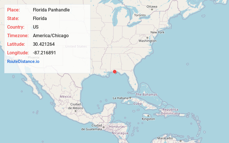
Full AddressFlorida Panhandle, FL
-
Coordinates30.4212643, -87.2168913
-
LocationFlorida , US
-
TimezoneAmerica/Chicago
-
Current Local Time2:55:02 PM America/ChicagoMonday, June 2, 2025
-
Page Views0
About Florida Panhandle
The Florida panhandle is the northwestern part of the U.S. state of Florida. It is a salient roughly 200 miles long, bordered by Alabama on the west and north, Georgia on the north, and the Gulf of Mexico to the south. Its eastern boundary is arbitrarily defined.


Nearby Places
Found 10 places within 50 miles

Pensacola
0.9 mi
1.4 km
Pensacola, FL
Get directions

Goulding
1.6 mi
2.6 km
Goulding, FL
Get directions

Brent
3.5 mi
5.6 km
Brent, FL
Get directions

West Pensacola
3.8 mi
6.1 km
West Pensacola, FL
Get directions
Warrington
4.3 mi
6.9 km
Warrington, FL
Get directions
Myrtle Grove
5.4 mi
8.7 km
Myrtle Grove, FL
Get directions

Gulf Breeze
5.4 mi
8.7 km
Gulf Breeze, FL
Get directions

Ferry Pass
6.2 mi
10.0 km
Ferry Pass, FL
Get directions

Bellview
6.5 mi
10.5 km
Bellview, FL
Get directions
Ensley
7.5 mi
12.1 km
Ensley, FL
Get directions
Location Links
Local Weather
Weather Information
Coming soon!
Location Map
Static map view of Florida Panhandle, Florida
Browse Places by Distance
Places within specific distances from Florida Panhandle
Short Distances
Long Distances
Click any distance to see all places within that range from Florida Panhandle. Distances shown in miles (1 mile ≈ 1.61 kilometers).