Distance to Floweree, Montana

Calculating Your Route
Just a moment while we process your request...
Location Information
-
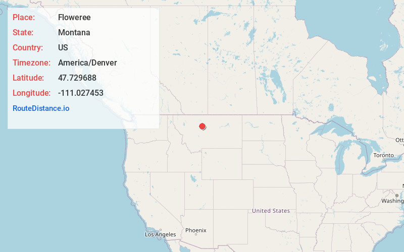
Full AddressFloweree, MT 59440
-
Coordinates47.7296877, -111.027453
-
LocationFloweree , Montana , US
-
TimezoneAmerica/Denver
-
Current Local Time3:44:14 PM America/DenverWednesday, June 18, 2025
-
Page Views0
About Floweree
Floweree is an unincorporated community in Chouteau County, Montana, United States. Floweree is 18 miles west-southwest of Fort Benton. It is off of U.S. Route 87.
The community is named for Daniel Floweree, a Texas cattle rancher who established his F Triangle Ranch in the area in the late 19th century.
Nearby Places
Found 10 places within 50 miles

Carter
4.9 mi
7.9 km
Carter, MT 59420
Get directions

Highwood
14.8 mi
23.8 km
Highwood, MT 59450
Get directions

Malmstrom AFB
17.1 mi
27.5 km
Malmstrom AFB, MT
Get directions

Black Eagle
18.4 mi
29.6 km
Black Eagle, MT
Get directions

Fort Benton
18.6 mi
29.9 km
Fort Benton, MT 59442
Get directions

Great Falls
20.1 mi
32.3 km
Great Falls, MT
Get directions

Gibson Flats
20.7 mi
33.3 km
Gibson Flats, MT 59405
Get directions
Tracy
22.7 mi
36.5 km
Tracy, MT
Get directions

Sand Coulee
23.8 mi
38.3 km
Sand Coulee, MT 59472
Get directions
Belt
24.1 mi
38.8 km
Belt, MT 59412
Get directions
Location Links
Local Weather
Weather Information
Coming soon!
Location Map
Static map view of Floweree, Montana
Browse Places by Distance
Places within specific distances from Floweree
Short Distances
Long Distances
Click any distance to see all places within that range from Floweree. Distances shown in miles (1 mile ≈ 1.61 kilometers).