Distance to Folsom, Kentucky

Calculating Your Route
Just a moment while we process your request...
Location Information
-
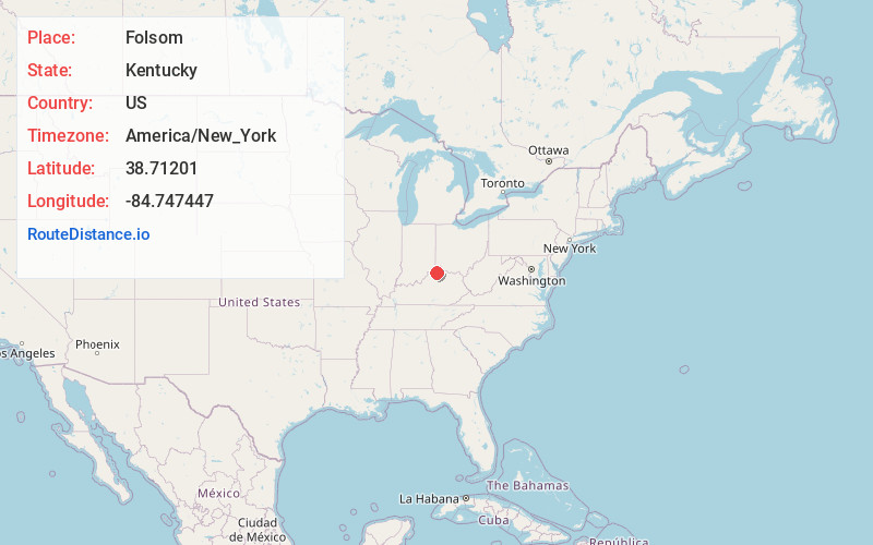
Full AddressFolsom, KY 41035
-
Coordinates38.71201, -84.7474471
-
LocationKentucky , US
-
TimezoneAmerica/New_York
-
Current Local Time2:29:45 PM America/New_YorkTuesday, June 24, 2025
-
Page Views0
Nearby Places
Found 10 places within 50 miles

Elliston
1.6 mi
2.6 km
Elliston, KY 41035
Get directions
Eagle Hill
2.3 mi
3.7 km
Eagle Hill, KY 41046
Get directions
Napoleon
4.0 mi
6.4 km
Napoleon, KY 41095
Get directions

Glencoe
4.1 mi
6.6 km
Glencoe, KY
Get directions

Mt Zion
5.1 mi
8.2 km
Mt Zion, KY 41035
Get directions
Munk
5.2 mi
8.4 km
Munk, KY 41092
Get directions
Downingsville
5.2 mi
8.4 km
Downingsville, KY 41035
Get directions
Delia
5.5 mi
8.9 km
Delia, KY 41035
Get directions
Ryle
6.0 mi
9.7 km
Ryle, KY 41092
Get directions
Poplar Grove
6.3 mi
10.1 km
Poplar Grove, KY 41086
Get directions
Location Links
Local Weather
Weather Information
Coming soon!
Location Map
Static map view of Folsom, Kentucky
Browse Places by Distance
Places within specific distances from Folsom
Short Distances
Long Distances
Click any distance to see all places within that range from Folsom. Distances shown in miles (1 mile ≈ 1.61 kilometers).