Distance to Forest Hills Local School District, Ohio

Calculating Your Route
Just a moment while we process your request...
Location Information
-
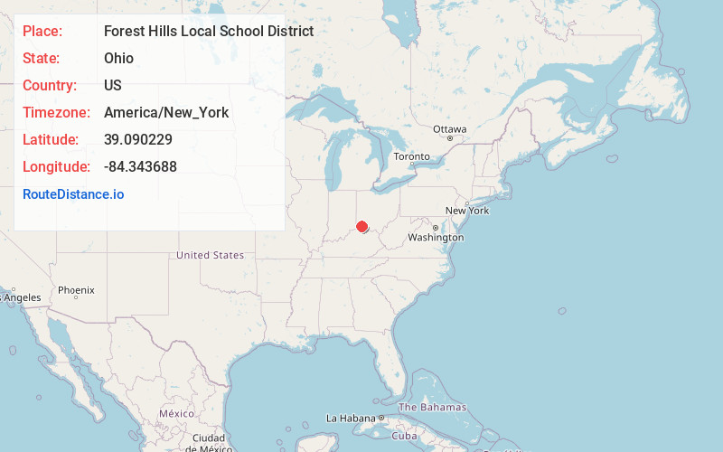
Full AddressForest Hills Local School District, OH
-
Coordinates39.0902286, -84.3436881
-
LocationOhio , US
-
TimezoneAmerica/New_York
-
Current Local Time3:03:04 PM America/New_YorkTuesday, June 24, 2025
-
Page Views0
About Forest Hills Local School District
Forest Hills Local School District is a public school district serving the southeasternmost area of Hamilton County, Ohio outside the city of Cincinnati. The district specifically serves approximately 7,600 students from Anderson Township and the village of Newtown.
Nearby Places
Found 10 places within 50 miles

Dry Run
1.2 mi
1.9 km
Dry Run, OH 45244
Get directions
Salem Heights
2.3 mi
3.7 km
Salem Heights, OH 45230
Get directions
Mt Carmel
2.4 mi
3.9 km
Mt Carmel, OH
Get directions

Newtown
2.6 mi
4.2 km
Newtown, OH 45244
Get directions
Coldstream
2.9 mi
4.7 km
Coldstream, OH
Get directions
Summerside
3.5 mi
5.6 km
Summerside, OH
Get directions
Plainville
3.7 mi
6.0 km
Plainville, OH
Get directions

Mariemont
4.1 mi
6.6 km
Mariemont, OH
Get directions

Melbourne
4.3 mi
6.9 km
Melbourne, KY
Get directions
Silver Grove
4.6 mi
7.4 km
Silver Grove, KY
Get directions
Location Links
Local Weather
Weather Information
Coming soon!
Location Map
Static map view of Forest Hills Local School District, Ohio
Browse Places by Distance
Places within specific distances from Forest Hills Local School District
Short Distances
Long Distances
Click any distance to see all places within that range from Forest Hills Local School District. Distances shown in miles (1 mile ≈ 1.61 kilometers).