Distance to Mariemont, Ohio

Calculating Your Route
Just a moment while we process your request...
Location Information
-
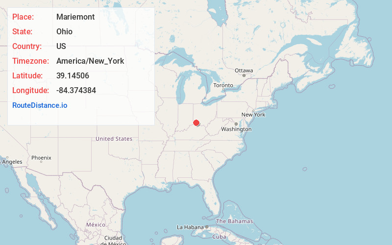
Full AddressMariemont, OH
-
Coordinates39.14506, -84.3743841
-
LocationMariemont , Ohio , US
-
TimezoneAmerica/New_York
-
Current Local Time2:48:16 AM America/New_YorkThursday, June 19, 2025
-
Page Views0
About Mariemont
Mariemont is a village in eastern Hamilton County, Ohio, United States. The population was 3,518 at the 2020 census. A planned community in the Cincinnati metropolitan area, it includes two overlapping historic districts, the Village of Mariemont and Mariemont Historic District.


Nearby Places
Found 10 places within 50 miles

Indian Hill
2.9 mi
4.7 km
Indian Hill, OH
Get directions

Silverton
3.6 mi
5.8 km
Silverton, OH
Get directions

Dry Run
3.7 mi
6.0 km
Dry Run, OH 45244
Get directions

Deer Park
4.3 mi
6.9 km
Deer Park, OH 45236
Get directions

Norwood
4.5 mi
7.2 km
Norwood, OH
Get directions
Kenwood
4.5 mi
7.2 km
Kenwood, OH
Get directions
Mt Carmel
4.6 mi
7.4 km
Mt Carmel, OH
Get directions

Milford
4.8 mi
7.7 km
Milford, OH
Get directions
Golf Manor
4.8 mi
7.7 km
Golf Manor, OH 45237
Get directions
Amberley
5.0 mi
8.0 km
Amberley, OH
Get directions
Location Links
Local Weather
Weather Information
Coming soon!
Location Map
Static map view of Mariemont, Ohio
Browse Places by Distance
Places within specific distances from Mariemont
Short Distances
Long Distances
Click any distance to see all places within that range from Mariemont. Distances shown in miles (1 mile ≈ 1.61 kilometers).