Distance to Fort Mojave Reservation, Arizona

Calculating Your Route
Just a moment while we process your request...
Location Information
-
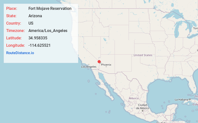
Full AddressFort Mojave Reservation, Kingman South, AZ
-
Coordinates34.9583354, -114.625521
-
LocationKingman South , Arizona , US
-
TimezoneAmerica/Los_Angeles
-
Current Local Time8:34:35 AM America/Los_AngelesFriday, June 20, 2025
-
Page Views0
About Fort Mojave Reservation
The Fort Mohave Indian Reservation is an Indian reservation along the Colorado River, currently encompassing 23,669 acres in Arizona, 12,633 acres in California, and 5,582 acres in the southernmost point of Nevada.


Nearby Places
Found 10 places within 50 miles

Mojave Ranch Estates
2.2 mi
3.5 km
Mojave Ranch Estates, AZ 86440
Get directions

Mohave Valley
2.7 mi
4.3 km
Mohave Valley, AZ 86440
Get directions
Mesquite Creek
3.3 mi
5.3 km
Mesquite Creek, AZ 86440
Get directions

Willow Valley
3.4 mi
5.5 km
Willow Valley, AZ 86440
Get directions

Fort Mohave
4.9 mi
7.9 km
Fort Mohave, AZ
Get directions
Mojave City
6.0 mi
9.7 km
Mojave City, AZ 86442
Get directions
Java
7.6 mi
12.2 km
Java, CA 92363
Get directions

Arizona Village
7.6 mi
12.2 km
Arizona Village, AZ 86440
Get directions

Needles
7.6 mi
12.2 km
Needles, CA 92363
Get directions
Klinefelter
8.9 mi
14.3 km
Klinefelter, CA 92363
Get directions
Location Links
Local Weather
Weather Information
Coming soon!
Location Map
Static map view of Fort Mojave Reservation, Arizona
Browse Places by Distance
Places within specific distances from Fort Mojave Reservation
Short Distances
Long Distances
Click any distance to see all places within that range from Fort Mojave Reservation. Distances shown in miles (1 mile ≈ 1.61 kilometers).