Distance to Foster, Virginia

Calculating Your Route
Just a moment while we process your request...
Location Information
-
Full AddressFoster, VA 23056
-
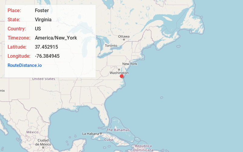
Coordinates37.4529147, -76.3849452
-
LocationFoster , Virginia , US
-
TimezoneAmerica/New_York
-
Current Local Time4:15:55 PM America/New_YorkTuesday, June 17, 2025
-
Page Views0
About Foster
Foster is an unincorporated community in Mathews County, Virginia, United States. Foster is located on Virginia Route 14 3.5 miles west-northwest of Mathews. Foster has a post office with ZIP code 23056.
Nearby Places
Found 10 places within 50 miles

Cardinal
2.3 mi
3.7 km
Cardinal, VA 23025
Get directions
Fort Nonsense
3.4 mi
5.5 km
Fort Nonsense, VA 23128
Get directions

Mathews
3.7 mi
6.0 km
Mathews, VA 23109
Get directions
Dixie
3.7 mi
6.0 km
Dixie, VA 23050
Get directions
Hallieford
3.7 mi
6.0 km
Hallieford, VA 23068
Get directions
Bohannon
4.1 mi
6.6 km
Bohannon, VA 23021
Get directions
Williams
4.8 mi
7.7 km
Williams, VA 23138
Get directions

Dutton
5.0 mi
8.0 km
Dutton, VA 23050
Get directions
Fitchetts
5.2 mi
8.4 km
Fitchetts, VA 23119
Get directions
Beaverlett
5.3 mi
8.5 km
Beaverlett, VA 23109
Get directions
Location Links
Local Weather
Weather Information
Coming soon!
Location Map
Static map view of Foster, Virginia
Browse Places by Distance
Places within specific distances from Foster
Short Distances
Long Distances
Click any distance to see all places within that range from Foster. Distances shown in miles (1 mile ≈ 1.61 kilometers).