Distance to Foster, Oklahoma

Calculating Your Route
Just a moment while we process your request...
Location Information
-
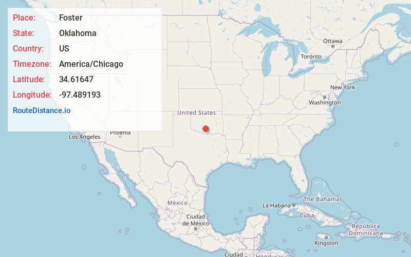
Full AddressFoster, OK
-
Coordinates34.6164698, -97.4891933
-
LocationFoster , Oklahoma , US
-
TimezoneAmerica/Chicago
-
Current Local Time1:49:51 AM America/ChicagoThursday, June 19, 2025
-
Page Views0
About Foster
Foster is a town in Garvin County, Oklahoma, United States. It was incorporated in 2002 and had a population of 161 at the 2010 census.
Foster is served by State Highway 29A, a spur of State Highway 29. A post office was first established at Foster on August 12, 1891.
Nearby Places
Found 10 places within 50 miles

Elmore City
5.3 mi
8.5 km
Elmore City, OK 73433
Get directions

Katie
8.2 mi
13.2 km
Katie, OK 73433
Get directions

Maysville
14.7 mi
23.7 km
Maysville, OK
Get directions

Velma
15.1 mi
24.3 km
Velma, OK 73491
Get directions

Lindsay
16.4 mi
26.4 km
Lindsay, OK 73052
Get directions

Pauls Valley
17.4 mi
28.0 km
Pauls Valley, OK
Get directions

Wynnewood
18.2 mi
29.3 km
Wynnewood, OK 73098
Get directions

Bray
18.7 mi
30.1 km
Bray, OK 73055
Get directions

Paoli
19.5 mi
31.4 km
Paoli, OK 73074
Get directions

Davis
22.4 mi
36.0 km
Davis, OK 73030
Get directions
Location Links
Local Weather
Weather Information
Coming soon!
Location Map
Static map view of Foster, Oklahoma
Browse Places by Distance
Places within specific distances from Foster
Short Distances
Long Distances
Click any distance to see all places within that range from Foster. Distances shown in miles (1 mile ≈ 1.61 kilometers).