Distance to and from Foxville, South Carolina
Foxville, SC 29168
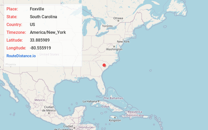
South Carolina
US
America/New_York
Location Information
-
Full AddressFoxville, SC 29168
-
Coordinates33.8859892, -80.5559187
-
LocationSouth Carolina , US
-
TimezoneAmerica/New_York
-
Current Local Time3:24:04 PM America/New_YorkSaturday, May 3, 2025
-
Page Views0
Directions to Nearest Cities
Nearby Places
Found 10 places within 50 miles

Wedgefield
2.2 mi
3.5 km
Wedgefield, SC 29168
Get directions

Stateburg
5.1 mi
8.2 km
Stateburg, SC
Get directions

Cane Savannah
6.8 mi
10.9 km
Cane Savannah, SC
Get directions
Cherryvale
7.4 mi
11.9 km
Cherryvale, SC 29154
Get directions
Oakland
7.8 mi
12.6 km
Oakland, SC
Get directions

Eastover
7.9 mi
12.7 km
Eastover, SC 29044
Get directions
Catchall
9.3 mi
15.0 km
Catchall, SC 29040
Get directions
Horatio
9.4 mi
15.1 km
Horatio, SC 29128
Get directions
Milford
9.7 mi
15.6 km
Milford, SC 29125
Get directions
Millwood
9.8 mi
15.8 km
Millwood, SC
Get directions
Wedgefield
2.2 mi
3.5 km
Wedgefield, SC 29168
Stateburg
5.1 mi
8.2 km
Stateburg, SC
Cane Savannah
6.8 mi
10.9 km
Cane Savannah, SC
Cherryvale
7.4 mi
11.9 km
Cherryvale, SC 29154
Oakland
7.8 mi
12.6 km
Oakland, SC
Eastover
7.9 mi
12.7 km
Eastover, SC 29044
Catchall
9.3 mi
15.0 km
Catchall, SC 29040
Horatio
9.4 mi
15.1 km
Horatio, SC 29128
Milford
9.7 mi
15.6 km
Milford, SC 29125
Millwood
9.8 mi
15.8 km
Millwood, SC
Location Links
Local Weather
Weather Information
Coming soon!
Location Map
Static map view of Foxville, South Carolina
Browse Places by Distance
Places within specific distances from Foxville
Short Distances
Long Distances
Click any distance to see all places within that range from Foxville. Distances shown in miles (1 mile ≈ 1.61 kilometers).