Distance to Horatio, South Carolina

Calculating Your Route
Just a moment while we process your request...
Location Information
-
Full AddressHoratio, SC 29128
-
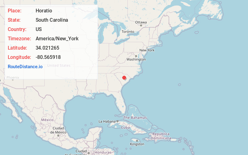
Coordinates34.0212645, -80.5659176
-
LocationHoratio , South Carolina , US
-
TimezoneAmerica/New_York
-
Current Local Time5:14:45 AM America/New_YorkMonday, June 2, 2025
-
Page Views0
About Horatio
Horatio is an unincorporated community in the High Hills of Santee area in western Sumter County, South Carolina, United States.
It lies on Horatio Road west of South Carolina Highway 261 north of Stateburg and is the location of the Lenoir Store, which is listed on the National Register of Historic Places.
Nearby Places
Found 10 places within 50 miles

Ellerbees Mill
3.8 mi
6.1 km
Ellerbees Mill, SC 29128
Get directions
Oakland
4.6 mi
7.4 km
Oakland, SC
Get directions

Stateburg
4.7 mi
7.6 km
Stateburg, SC
Get directions

Rembert
5.5 mi
8.9 km
Rembert, SC 29128
Get directions
Boykin
6.7 mi
10.8 km
Boykin, SC 29128
Get directions
Cherryvale
7.7 mi
12.4 km
Cherryvale, SC 29154
Get directions

Dalzell
7.8 mi
12.6 km
Dalzell, SC
Get directions
Wedgefield
9.9 mi
15.9 km
Wedgefield, SC 29168
Get directions

Cane Savannah
11.8 mi
19.0 km
Cane Savannah, SC
Get directions

Eastover
12.4 mi
20.0 km
Eastover, SC 29044
Get directions
Location Links
Local Weather
Weather Information
Coming soon!
Location Map
Static map view of Horatio, South Carolina
Browse Places by Distance
Places within specific distances from Horatio
Short Distances
Long Distances
Click any distance to see all places within that range from Horatio. Distances shown in miles (1 mile ≈ 1.61 kilometers).