Distance to Frankenstein, Missouri

Calculating Your Route
Just a moment while we process your request...
Location Information
-
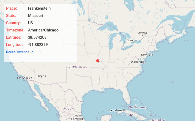
Full AddressFrankenstein, MO 65016
-
Coordinates38.574208, -91.8823988
-
LocationFrankenstein , Missouri , US
-
TimezoneAmerica/Chicago
-
Current Local Time1:02:07 AM America/ChicagoThursday, June 19, 2025
-
Page Views0
About Frankenstein
Frankenstein is an unincorporated community in northwestern Osage County, Missouri, United States. It is located approximately 20 km east of Jefferson City. Frankenstein is located on Missouri Route C, about midway between Luystown to the east and Bonnots Mill to the west.

Nearby Places
Found 10 places within 50 miles

Bonnots Mill
4.5 mi
7.2 km
Bonnots Mill, MO 65016
Get directions

Tebbetts
5.3 mi
8.5 km
Tebbetts, MO 65080
Get directions

St Aubert
5.4 mi
8.7 km
St Aubert, Benton Township, MO 65024
Get directions

Linn
6.3 mi
10.1 km
Linn, MO 65051
Get directions

Mokane
7.0 mi
11.3 km
Mokane, MO 65059
Get directions

Chamois
9.3 mi
15.0 km
Chamois, MO 65024
Get directions
Steedman
9.7 mi
15.6 km
Steedman, MO 65077
Get directions
Schubert
9.8 mi
15.8 km
Schubert, MO 65101
Get directions
Browns Ford
9.9 mi
15.9 km
Browns Ford, Caldwell Township, MO 65063
Get directions

Westphalia
11.1 mi
17.9 km
Westphalia, MO
Get directions
Location Links
Local Weather
Weather Information
Coming soon!
Location Map
Static map view of Frankenstein, Missouri
Browse Places by Distance
Places within specific distances from Frankenstein
Short Distances
Long Distances
Click any distance to see all places within that range from Frankenstein. Distances shown in miles (1 mile ≈ 1.61 kilometers).