Distance to St Aubert, Missouri

Calculating Your Route
Just a moment while we process your request...
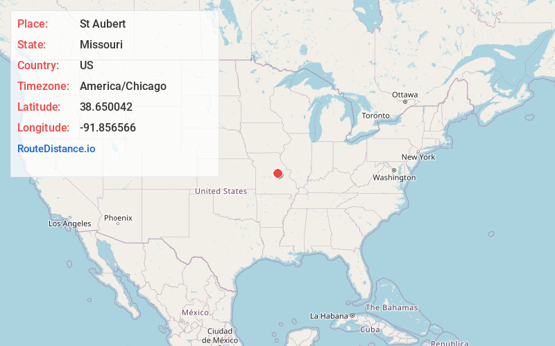
Location Information
-
Full AddressSt Aubert, Benton Township, MO 65024
-
Coordinates38.6500419, -91.8565662
-
LocationBenton Township , Missouri , US
-
TimezoneAmerica/Chicago
-
Current Local Time8:18:18 AM America/ChicagoMonday, June 23, 2025
-
Page Views0
Nearby Places
Found 10 places within 50 miles

Mokane
2.0 mi
3.2 km
Mokane, MO 65059
Get directions

Chamois
5.0 mi
8.0 km
Chamois, MO 65024
Get directions

Tebbetts
6.0 mi
9.7 km
Tebbetts, MO 65080
Get directions

Bonnots Mill
7.7 mi
12.4 km
Bonnots Mill, MO 65016
Get directions

Portland
8.6 mi
13.8 km
Portland, MO 65067
Get directions

Linn
11.3 mi
18.2 km
Linn, MO 65051
Get directions

Morrison
12.0 mi
19.3 km
Morrison, MO 65061
Get directions
Bluffton
13.1 mi
21.1 km
Bluffton, MO 65069
Get directions

New Bloomfield
13.2 mi
21.2 km
New Bloomfield, MO 65063
Get directions
Schubert
13.9 mi
22.4 km
Schubert, MO 65101
Get directions
Location Links
Local Weather
Weather Information
Coming soon!
Location Map
Static map view of St Aubert, Missouri
Browse Places by Distance
Places within specific distances from St Aubert
Short Distances
Long Distances
Click any distance to see all places within that range from St Aubert. Distances shown in miles (1 mile ≈ 1.61 kilometers).