Distance to Franklin Manor-On-The-Bay, Maryland

Calculating Your Route
Just a moment while we process your request...
Location Information
-
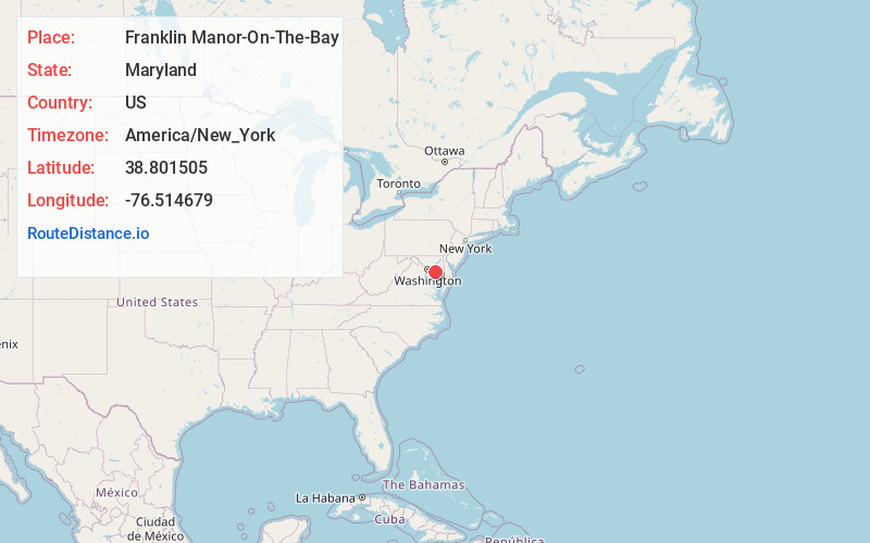
Full AddressFranklin Manor-On-The-Bay, Deale, MD 20733
-
Coordinates38.8015053, -76.5146788
-
LocationDeale , Maryland , US
-
TimezoneAmerica/New_York
-
Current Local Time10:05:19 AM America/New_YorkSaturday, June 21, 2025
-
Page Views0
About Franklin Manor-On-The-Bay
Franklin Manor-on-the-Bay is an unincorporated community or populated place located in Anne Arundel County, Maryland, United States at latitude 38.802 and longitude -76.515, at an elevation of 3 feet. Franklin Manor-on-the-Bay appears on the Deale U.S. Geological Survey Map.
Nearby Places
Found 10 places within 50 miles

Deale Beach
1.8 mi
2.9 km
Deale Beach, Deale, MD 20751
Get directions

Mimosa Cove
2.0 mi
3.2 km
Mimosa Cove, Deale, MD 20751
Get directions
Cedarhurst
2.0 mi
3.2 km
Cedarhurst, Shady Side, MD 20764
Get directions
Rest Haven
2.1 mi
3.4 km
Rest Haven, Deale, MD 20751
Get directions
North Deale
2.2 mi
3.5 km
North Deale, Deale, MD 20751
Get directions
Back Bay Beach
2.3 mi
3.7 km
Back Bay Beach, Shady Side, MD 20778
Get directions
Snug Harbor
2.6 mi
4.2 km
Snug Harbor, Shady Side, MD 20764
Get directions
Masons Beach
2.7 mi
4.3 km
Masons Beach, MD 20751
Get directions

Deale
2.8 mi
4.5 km
Deale, MD
Get directions

Shady Side
2.8 mi
4.5 km
Shady Side, MD
Get directions
Location Links
Local Weather
Weather Information
Coming soon!
Location Map
Static map view of Franklin Manor-On-The-Bay, Maryland
Browse Places by Distance
Places within specific distances from Franklin Manor-On-The-Bay
Short Distances
Long Distances
Click any distance to see all places within that range from Franklin Manor-On-The-Bay. Distances shown in miles (1 mile ≈ 1.61 kilometers).