Distance to Freeland Park, Indiana

Calculating Your Route
Just a moment while we process your request...
Location Information
-
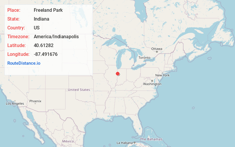
Full AddressFreeland Park, IN 47944
-
Coordinates40.61282, -87.491676
-
LocationFreeland Park , Indiana , US
-
TimezoneAmerica/Indianapolis
-
Page Views0
About Freeland Park
Freeland Park is an unincorporated town in Parish Grove Township, Benton County, in the U.S. state of Indiana. It is part of the Lafayette, Indiana Metropolitan Statistical Area.
Nearby Places
Found 10 places within 50 miles

Free
1.9 mi
3.1 km
Free, Parish Grove Township, IN 47944
Get directions
Cutmer
6.2 mi
10.0 km
Cutmer, IL 60953
Get directions

Earl Park
6.4 mi
10.3 km
Earl Park, IN 47942
Get directions
Hallock
6.5 mi
10.5 km
Hallock, Prairie Green Township, IL 60973
Get directions
Yeagers Curve
6.5 mi
10.5 km
Yeagers Curve, IN 47942
Get directions
Talbot
7.7 mi
12.4 km
Talbot, IN 47944
Get directions
Greer
7.7 mi
12.4 km
Greer, Prairie Green Township, IL 60973
Get directions
Ambia
8.6 mi
13.8 km
Ambia, IN 47917
Get directions

Boswell
8.7 mi
14.0 km
Boswell, IN 47921
Get directions

Fowler
9.0 mi
14.5 km
Fowler, IN 47944
Get directions
Location Links
Local Weather
Weather Information
Coming soon!
Location Map
Static map view of Freeland Park, Indiana
Browse Places by Distance
Places within specific distances from Freeland Park
Short Distances
Long Distances
Click any distance to see all places within that range from Freeland Park. Distances shown in miles (1 mile ≈ 1.61 kilometers).