Distance to Fruitvale, Texas

Calculating Your Route
Just a moment while we process your request...
Location Information
-
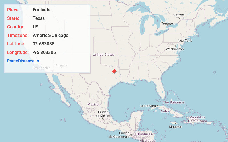
Full AddressFruitvale, TX
-
Coordinates32.6830382, -95.8033062
-
LocationFruitvale , Texas , US
-
TimezoneAmerica/Chicago
-
Current Local Time9:11:10 PM America/ChicagoSunday, June 22, 2025
-
Page Views0
About Fruitvale
Fruitvale is a small city in Van Zandt County, Texas, United States. The population was 408 at the 2010 census, and 476 as of 2020. The town draws its name from its location. Missouri Pacific Railroad in the center of the historic fruit-growing district of the Sabine River valley in northeastern Van Zandt County.


Nearby Places
Found 10 places within 50 miles

Edgewood
4.9 mi
7.9 km
Edgewood, TX 75117
Get directions

Grand Saline
5.5 mi
8.9 km
Grand Saline, TX 75140
Get directions

Canton
9.4 mi
15.1 km
Canton, TX 75103
Get directions

Wills Point
12.1 mi
19.5 km
Wills Point, TX 75169
Get directions

Alba
12.4 mi
20.0 km
Alba, TX 75410
Get directions

Emory
13.4 mi
21.6 km
Emory, TX 75440
Get directions

Van
14.6 mi
23.5 km
Van, TX 75790
Get directions

Sand Springs Lake
16.7 mi
26.9 km
Sand Springs Lake, Texas 75773
Get directions

Ben Wheeler
17.4 mi
28.0 km
Ben Wheeler, TX 75754
Get directions

Point
17.6 mi
28.3 km
Point, TX 75472
Get directions
Location Links
Local Weather
Weather Information
Coming soon!
Location Map
Static map view of Fruitvale, Texas
Browse Places by Distance
Places within specific distances from Fruitvale
Short Distances
Long Distances
Click any distance to see all places within that range from Fruitvale. Distances shown in miles (1 mile ≈ 1.61 kilometers).