Distance to and from Fuget, Kentucky
Fuget, KY 41219
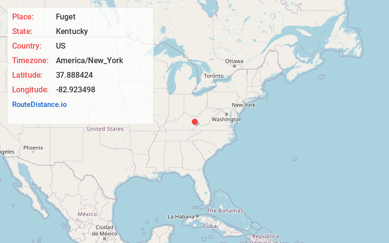
Fuget
Kentucky
US
America/New_York
Location Information
-
Full AddressFuget, KY 41219
-
Coordinates37.8884244, -82.9234982
-
LocationFuget , Kentucky , US
-
TimezoneAmerica/New_York
-
Current Local Time5:09:22 PM America/New_YorkFriday, May 9, 2025
-
Page Views0
Directions to Nearest Cities
About Fuget
Fuget is an unincorporated community in Johnson County, Kentucky, United States. Fuget is located at an elevation of 823 feet. It is located in the ZIP Code Tabulation Area for ZIP code 41219.
Nearby Places
Found 10 places within 50 miles

Elna
2.5 mi
4.0 km
Elna, KY 41238
Get directions
Volga
3.0 mi
4.8 km
Volga, KY 41219
Get directions
Manila
3.2 mi
5.1 km
Manila, KY 41256
Get directions

Flatgap
3.7 mi
6.0 km
Flatgap, KY 41219
Get directions
Redbush
3.8 mi
6.1 km
Redbush, KY 41219
Get directions
Hargis
4.4 mi
7.1 km
Hargis, KY 41238
Get directions
Barnetts Creek
4.8 mi
7.7 km
Barnetts Creek, KY 41256
Get directions
Winifred
5.5 mi
8.9 km
Winifred, KY 41255
Get directions
Relief
5.5 mi
8.9 km
Relief, KY 41472
Get directions
Staffordsville
6.0 mi
9.7 km
Staffordsville, KY 41256
Get directions
Elna
2.5 mi
4.0 km
Elna, KY 41238
Volga
3.0 mi
4.8 km
Volga, KY 41219
Manila
3.2 mi
5.1 km
Manila, KY 41256
Flatgap
3.7 mi
6.0 km
Flatgap, KY 41219
Redbush
3.8 mi
6.1 km
Redbush, KY 41219
Hargis
4.4 mi
7.1 km
Hargis, KY 41238
Barnetts Creek
4.8 mi
7.7 km
Barnetts Creek, KY 41256
Winifred
5.5 mi
8.9 km
Winifred, KY 41255
Relief
5.5 mi
8.9 km
Relief, KY 41472
Staffordsville
6.0 mi
9.7 km
Staffordsville, KY 41256
Location Links
Local Weather
Weather Information
Coming soon!
Location Map
Static map view of Fuget, Kentucky
Browse Places by Distance
Places within specific distances from Fuget
Short Distances
Long Distances
Click any distance to see all places within that range from Fuget. Distances shown in miles (1 mile ≈ 1.61 kilometers).