Distance to Fulford, Colorado

Calculating Your Route
Just a moment while we process your request...
Location Information
-
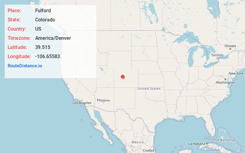
Full AddressFulford, CO 81632
-
Coordinates39.515, -106.65583
-
LocationFulford , Colorado , US
-
TimezoneAmerica/Denver
-
Current Local Time12:34:42 AM America/DenverThursday, July 3, 2025
-
Page Views0
About Fulford
Fulford is an extinct town and a census-designated place located in Eagle County, Colorado, United States. The population of the Fulford CDP was 0 at the United States Census 2020. The CDP is a part of the Edwards, CO Micropolitan Statistical Area.
Nearby Places
Found 10 places within 50 miles

Edwards
9.6 mi
15.4 km
Edwards, CO 81632
Get directions

Avon
10.9 mi
17.5 km
Avon, CO
Get directions

Minturn
13.0 mi
20.9 km
Minturn, CO
Get directions

Norrie
13.1 mi
21.1 km
Norrie, CO 81642
Get directions

Eagle
13.2 mi
21.2 km
Eagle, CO 81631
Get directions

Red Cliff
15.3 mi
24.6 km
Red Cliff, CO 81649
Get directions

Vail
17.2 mi
27.7 km
Vail, CO 81657
Get directions

Gypsum
18.0 mi
29.0 km
Gypsum, CO 81637
Get directions

Woody Creek
20.8 mi
33.5 km
Woody Creek, CO
Get directions

Dotsero
23.7 mi
38.1 km
Dotsero, CO 81637
Get directions
Location Links
Local Weather
Weather Information
Coming soon!
Location Map
Static map view of Fulford, Colorado
Browse Places by Distance
Places within specific distances from Fulford
Short Distances
Long Distances
Click any distance to see all places within that range from Fulford. Distances shown in miles (1 mile ≈ 1.61 kilometers).