Distance to Garfield Center, Kansas

Calculating Your Route
Just a moment while we process your request...
Location Information
-
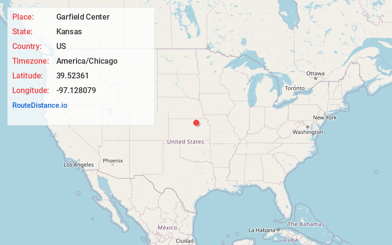
Full AddressGarfield Center, Garfield Township, KS 67432
-
Coordinates39.5236095, -97.128079
-
LocationGarfield Township , Kansas , US
-
TimezoneAmerica/Chicago
-
Current Local Time6:58:41 AM America/ChicagoWednesday, May 21, 2025
-
Page Views0
Nearby Places
Found 10 places within 50 miles

Morganville
5.6 mi
9.0 km
Morganville, KS 67468
Get directions
Palmer
7.5 mi
12.1 km
Palmer, KS 66962
Get directions

Clifton
8.6 mi
13.8 km
Clifton, KS 66937
Get directions
Kimeo
8.7 mi
14.0 km
Kimeo, KS 66943
Get directions
Vining
9.4 mi
15.1 km
Vining, KS 66937
Get directions
Green
9.4 mi
15.1 km
Green, KS 67447
Get directions

Clay Center
10.1 mi
16.3 km
Clay Center, KS 67432
Get directions
Chepstow
13.9 mi
22.4 km
Chepstow, Lincoln Township, KS 66943
Get directions
Clyde
15.2 mi
24.5 km
Clyde, KS 66938
Get directions
Calderhead
15.4 mi
24.8 km
Calderhead, KS 66937
Get directions
Location Links
Local Weather
Weather Information
Coming soon!
Location Map
Static map view of Garfield Center, Kansas
Browse Places by Distance
Places within specific distances from Garfield Center
Short Distances
Long Distances
Click any distance to see all places within that range from Garfield Center. Distances shown in miles (1 mile ≈ 1.61 kilometers).