Distance to Palmer, Kansas

Calculating Your Route
Just a moment while we process your request...
Location Information
-
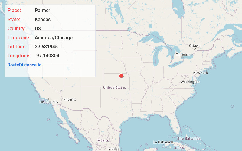
Full AddressPalmer, KS 66962
-
Coordinates39.631945, -97.1403042
-
LocationPalmer , Kansas , US
-
TimezoneAmerica/Chicago
-
Current Local Time2:26:22 AM America/ChicagoSunday, June 1, 2025
-
Page Views0
About Palmer
Palmer is a city in Washington County, Kansas, United States. As of the 2020 census, the population of the city was 125.
Nearby Places
Found 10 places within 50 miles

Clifton
8.6 mi
13.8 km
Clifton, KS 66937
Get directions

Greenleaf
11.0 mi
17.7 km
Greenleaf, KS 66943
Get directions
Morganville
11.9 mi
19.2 km
Morganville, KS 67468
Get directions
Washington
13.7 mi
22.0 km
Washington, KS 66968
Get directions
Clyde
14.1 mi
22.7 km
Clyde, KS 66938
Get directions

Clay Center
17.6 mi
28.3 km
Clay Center, KS 67432
Get directions
Cuba
20.5 mi
33.0 km
Cuba, KS 66940
Get directions

Waterville
21.3 mi
34.3 km
Waterville, KS
Get directions

Hanover
22.8 mi
36.7 km
Hanover, KS
Get directions
Leonardville
23.8 mi
38.3 km
Leonardville, KS 66449
Get directions
Location Links
Local Weather
Weather Information
Coming soon!
Location Map
Static map view of Palmer, Kansas
Browse Places by Distance
Places within specific distances from Palmer
Short Distances
Long Distances
Click any distance to see all places within that range from Palmer. Distances shown in miles (1 mile ≈ 1.61 kilometers).