Distance to Garland, Missouri
Location Information
-
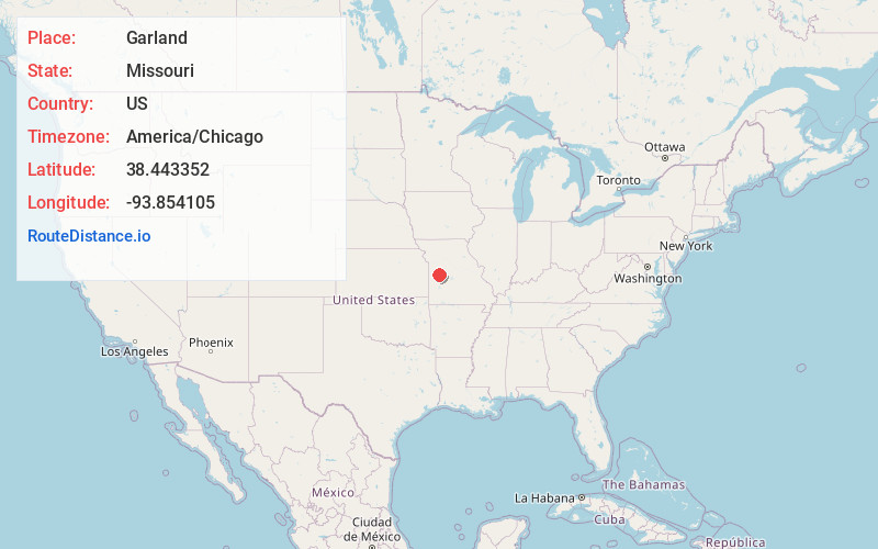
Full AddressGarland, MO 64735
-
Coordinates38.4433522, -93.8541045
-
LocationGarland , Missouri , US
-
TimezoneAmerica/Chicago
-
Current Local Time6:16:26 PM America/ChicagoFriday, May 16, 2025
-
Page Views0
Nearby Places
Found 10 places within 50 miles

Harvey
0.7 mi
1.1 km
Harvey, Honey Creek Township, MO 64726
Get directions
Hartwell
4.4 mi
7.1 km
Hartwell, MO 64788
Get directions
Quarles
5.7 mi
9.2 km
Quarles, MO 64735
Get directions

Clinton
6.6 mi
10.6 km
Clinton, MO 64735
Get directions

Urich
8.0 mi
12.9 km
Urich, MO 64788
Get directions
Blairstown
9.7 mi
15.6 km
Blairstown, MO 64726
Get directions

Chilhowee
10.1 mi
16.3 km
Chilhowee, MO 64733
Get directions
Post Oak
10.3 mi
16.6 km
Post Oak, MO 64761
Get directions
Old Chilhowee
11.3 mi
18.2 km
Old Chilhowee, Chilhowee Township, MO 64733
Get directions
Denton
12.3 mi
19.8 km
Denton, Chilhowee Township, MO 64040
Get directions
Location Links
Local Weather
Weather Information
Coming soon!
Location Map
Static map view of Garland, Missouri
Browse Places by Distance
Places within specific distances from Garland
Short Distances
Long Distances
Click any distance to see all places within that range from Garland. Distances shown in miles (1 mile ≈ 1.61 kilometers).