Distance to Garlock, California

Calculating Your Route
Just a moment while we process your request...
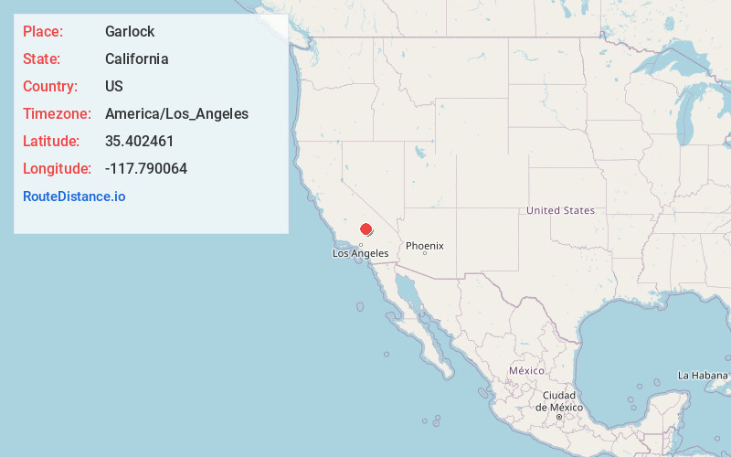
Location Information
-
Full AddressGarlock, CA 93554
-
Coordinates35.4024608, -117.7900644
-
LocationGarlock , California , US
-
TimezoneAmerica/Los_Angeles
-
Current Local Time12:01:48 AM America/Los_AngelesTuesday, June 17, 2025
-
Page Views0
About Garlock
Garlock is an unincorporated community in Kern County, California, United States. It is located 6.25 miles east-southeast of Saltdale, at an elevation of 2,169 feet.
A post office operated at Garlock from 1896 to 1904 and from 1923 to 1926.


Nearby Places
Found 10 places within 50 miles

Goler Heights
3.0 mi
4.8 km
Goler Heights, CA 93554
Get directions
Rand
5.7 mi
9.2 km
Rand, CA
Get directions
Ceneda
6.9 mi
11.1 km
Ceneda, CA 93519
Get directions

Randsburg
7.8 mi
12.6 km
Randsburg, CA
Get directions

Johannesburg
9.0 mi
14.5 km
Johannesburg, CA
Get directions

Gypsite
9.4 mi
15.1 km
Gypsite, CA 93519
Get directions

Red Mountain
10.2 mi
16.4 km
Red Mountain, CA 93528
Get directions

Ricardo
11.4 mi
18.3 km
Ricardo, CA
Get directions


Leaflet © OpenStreetMap contributors
Location Links
Local Weather
Weather Information
Coming soon!
Location Map
Static map view of Garlock, California
Browse Places by Distance
Places within specific distances from Garlock
Short Distances
Long Distances
Click any distance to see all places within that range from Garlock. Distances shown in miles (1 mile ≈ 1.61 kilometers).