Distance to Gypsite, California

Calculating Your Route
Just a moment while we process your request...
Location Information
-
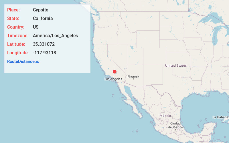
Full AddressGypsite, CA 93519
-
Coordinates35.3310723, -117.9311796
-
LocationGypsite , California , US
-
TimezoneAmerica/Los_Angeles
-
Current Local Time3:26:54 AM America/Los_AngelesSaturday, May 24, 2025
-
Page Views0
About Gypsite
Gypsite was a small community at the site of a mill in Kern County, California.
It is located 3 miles southwest of Saltdale, in the Fremont Valley of the Mojave Desert at an elevation of 1,959 feet. It is located near Koehn Lake south-southwest of Ridgecrest near Garlock, California.


Nearby Places
Found 10 places within 50 miles

Cantil
2.6 mi
4.2 km
Cantil, CA 93519
Get directions

Goler Heights
12.4 mi
20.0 km
Goler Heights, CA 93554
Get directions

California City
14.5 mi
23.3 km
California City, CA
Get directions

Randsburg
15.6 mi
25.1 km
Randsburg, CA
Get directions

Johannesburg
17.0 mi
27.4 km
Johannesburg, CA
Get directions

Aerial Acres
18.6 mi
29.9 km
Aerial Acres, CA 93523
Get directions
Sageland
18.9 mi
30.4 km
Sageland, CA 93283
Get directions

North Edwards
22.4 mi
36.0 km
North Edwards, CA 93523
Get directions

Inyokern
22.8 mi
36.7 km
Inyokern, CA
Get directions
Bissell
23.6 mi
38.0 km
Bissell, CA 93501
Get directions
Location Links
Local Weather
Weather Information
Coming soon!
Location Map
Static map view of Gypsite, California
Browse Places by Distance
Places within specific distances from Gypsite
Short Distances
Long Distances
Click any distance to see all places within that range from Gypsite. Distances shown in miles (1 mile ≈ 1.61 kilometers).