Distance to Sageland, California

Calculating Your Route
Just a moment while we process your request...
Location Information
-
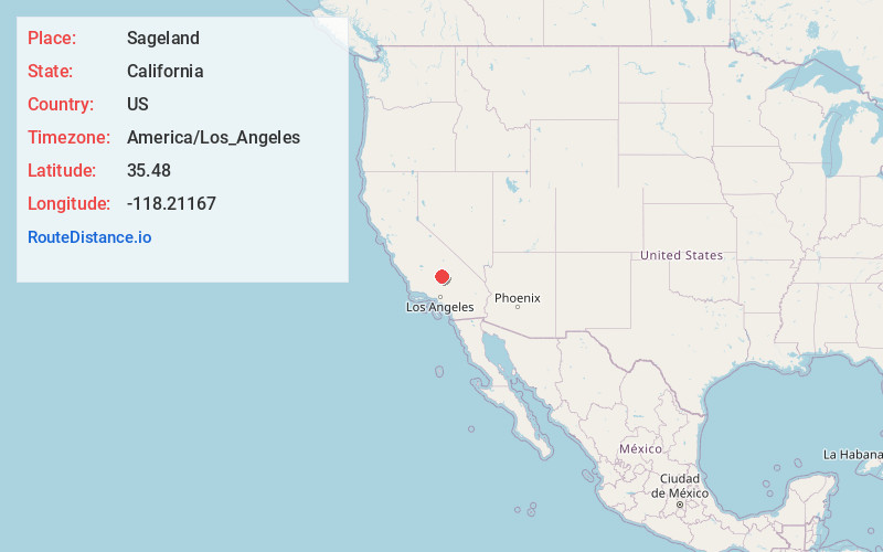
Full AddressSageland, CA 93283
-
Coordinates35.4799999, -118.21167
-
LocationSageland , California , US
-
TimezoneAmerica/Los_Angeles
-
Current Local Time9:13:28 PM America/Los_AngelesWednesday, June 4, 2025
-
Page Views0
About Sageland
Sageland is an unincorporated community in Kern County, California. It is located near Kelso Creek 3.5 miles west-northwest at the base of the Piute Mountains, at an elevation of 4,026 feet.
Quartz was discovered in the area in 1866 by miners from nearby Claraville.
Nearby Places
Found 10 places within 50 miles

Moreland Mill
8.2 mi
13.2 km
Moreland Mill, CA 93283
Get directions
Burton Mill
11.0 mi
17.7 km
Burton Mill, CA 93205
Get directions

Weldon
13.6 mi
21.9 km
Weldon, CA
Get directions

Onyx
14.5 mi
23.3 km
Onyx, CA
Get directions

Squirrel Mountain Valley
14.9 mi
24.0 km
Squirrel Mountain Valley, CA 93240
Get directions

Mountain Mesa
15.5 mi
24.9 km
Mountain Mesa, CA 93240
Get directions

Bodfish
17.4 mi
28.0 km
Bodfish, CA 93205
Get directions
Loraine
17.4 mi
28.0 km
Loraine, CA 93518
Get directions

Lake Isabella
17.5 mi
28.2 km
Lake Isabella, CA
Get directions

Cantil
18.1 mi
29.1 km
Cantil, CA 93519
Get directions
Location Links
Local Weather
Weather Information
Coming soon!
Location Map
Static map view of Sageland, California
Browse Places by Distance
Places within specific distances from Sageland
Short Distances
Long Distances
Click any distance to see all places within that range from Sageland. Distances shown in miles (1 mile ≈ 1.61 kilometers).