Distance to Onyx, California

Calculating Your Route
Just a moment while we process your request...
Location Information
-
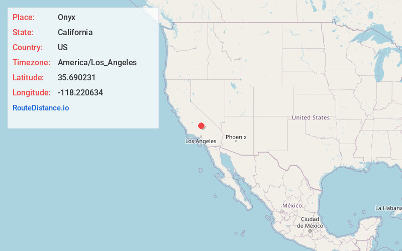
Full AddressOnyx, CA
-
Coordinates35.6902305, -118.220634
-
LocationOnyx , California , US
-
TimezoneAmerica/Los_Angeles
-
Current Local Time2:07:02 AM America/Los_AngelesFriday, May 30, 2025
-
Page Views0
About Onyx
Onyx is a census-designated place in Kern County, California, United States. Onyx is located 3.5 miles east-northeast of Weldon in the South Fork Valley at an elevation of 2,795 feet. The population was 475 at the 2010 census, down from 476 at the 2000 census.


Nearby Places
Found 10 places within 50 miles

Weldon
4.3 mi
6.9 km
Weldon, CA
Get directions

Squirrel Mountain Valley
11.6 mi
18.7 km
Squirrel Mountain Valley, CA 93240
Get directions

Kernville
12.3 mi
19.8 km
Kernville, CA
Get directions

Wofford Heights
13.3 mi
21.4 km
Wofford Heights, CA 93285
Get directions

Lake Isabella
15.0 mi
24.1 km
Lake Isabella, CA
Get directions

Bodfish
16.8 mi
27.0 km
Bodfish, CA 93205
Get directions

Inyokern
23.1 mi
37.2 km
Inyokern, CA
Get directions

China Lake Acres
26.1 mi
42.0 km
China Lake Acres, CA 93555
Get directions

Ridgecrest
31.2 mi
50.2 km
Ridgecrest, CA 93555
Get directions

Tehachapi
40.6 mi
65.3 km
Tehachapi, CA 93561
Get directions
Location Links
Local Weather
Weather Information
Coming soon!
Location Map
Static map view of Onyx, California
Browse Places by Distance
Places within specific distances from Onyx
Short Distances
Long Distances
Click any distance to see all places within that range from Onyx. Distances shown in miles (1 mile ≈ 1.61 kilometers).