Distance to and from Garwood, New Jersey
Garwood, NJ
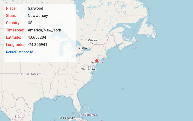
Garwood
New Jersey
US
America/New_York
Location Information
-
Full AddressGarwood, NJ
-
Coordinates40.6532038, -74.3259405
-
LocationGarwood , New Jersey , US
-
TimezoneAmerica/New_York
-
Current Local Time3:59:37 PM America/New_YorkSaturday, May 3, 2025
-
Website
-
Page Views0
Directions to Nearest Cities
About Garwood
Garwood is a borough in Union County, in the U.S. state of New Jersey. As of the 2020 United States census, the borough's population was 4,454, an increase of 228 from the 2010 census count of 4,226, which in turn reflected an increase of 73 from the 4,153 counted in the 2000 census.

Nearby Places
Found 10 places within 50 miles

Cranford
1.1 mi
1.8 km
Cranford, NJ
Get directions

Westfield
1.3 mi
2.1 km
Westfield, NJ
Get directions

Clark
1.9 mi
3.1 km
Clark, NJ
Get directions

Mountainside
2.1 mi
3.4 km
Mountainside, NJ
Get directions

Kenilworth
2.7 mi
4.3 km
Kenilworth, NJ
Get directions

Fanwood
3.2 mi
5.1 km
Fanwood, NJ 07023
Get directions

Roselle Park
3.3 mi
5.3 km
Roselle Park, NJ
Get directions

Roselle
3.3 mi
5.3 km
Roselle, NJ
Get directions

Springfield
3.4 mi
5.5 km
Springfield, NJ
Get directions

Scotch Plains
3.7 mi
6.0 km
Scotch Plains, NJ
Get directions
Cranford
1.1 mi
1.8 km
Cranford, NJ
Westfield
1.3 mi
2.1 km
Westfield, NJ
Clark
1.9 mi
3.1 km
Clark, NJ
Mountainside
2.1 mi
3.4 km
Mountainside, NJ
Kenilworth
2.7 mi
4.3 km
Kenilworth, NJ
Fanwood
3.2 mi
5.1 km
Fanwood, NJ 07023
Roselle Park
3.3 mi
5.3 km
Roselle Park, NJ
Roselle
3.3 mi
5.3 km
Roselle, NJ
Springfield
3.4 mi
5.5 km
Springfield, NJ
Scotch Plains
3.7 mi
6.0 km
Scotch Plains, NJ
Location Links
Local Weather
Weather Information
Coming soon!
Location Map
Static map view of Garwood, New Jersey
Browse Places by Distance
Places within specific distances from Garwood
Short Distances
Long Distances
Click any distance to see all places within that range from Garwood. Distances shown in miles (1 mile ≈ 1.61 kilometers).