Distance to Gays Creek, Kentucky

Calculating Your Route
Just a moment while we process your request...
Location Information
-
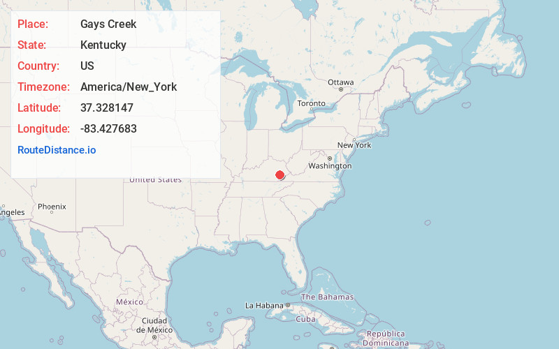
Full AddressGays Creek, KY 41745
-
Coordinates37.3281473, -83.4276833
-
LocationGays Creek , Kentucky , US
-
TimezoneAmerica/New_York
-
Current Local Time1:24:33 AM America/New_YorkThursday, June 19, 2025
-
Page Views0
About Gays Creek
Gays Creek is an unincorporated community in Perry County, Kentucky, United States. Gays Creek is 14 miles west-northwest of Hazard. Gays Creek has a post office, established in 1888, with ZIP code 41745.
Nearby Places
Found 10 places within 50 miles

Buckhorn
3.0 mi
4.8 km
Buckhorn, KY 41721
Get directions
Chavies
4.2 mi
6.8 km
Chavies, KY 41727
Get directions
Barwick
4.3 mi
6.9 km
Barwick, KY 41339
Get directions
Confluence
4.6 mi
7.4 km
Confluence, KY 41749
Get directions
Red Hill
5.0 mi
8.0 km
Red Hill, KY 41701
Get directions
Saul
5.3 mi
8.5 km
Saul, KY 41721
Get directions
Wolf Coal
5.6 mi
9.0 km
Wolf Coal, KY 41390
Get directions
Roosevelt
6.3 mi
10.1 km
Roosevelt, KY 41348
Get directions
Lamont
6.4 mi
10.3 km
Lamont, KY 41701
Get directions
Dunraven
7.0 mi
11.3 km
Dunraven, KY 41754
Get directions
Location Links
Local Weather
Weather Information
Coming soon!
Location Map
Static map view of Gays Creek, Kentucky
Browse Places by Distance
Places within specific distances from Gays Creek
Short Distances
Long Distances
Click any distance to see all places within that range from Gays Creek. Distances shown in miles (1 mile ≈ 1.61 kilometers).