Distance to Confluence, Kentucky

Calculating Your Route
Just a moment while we process your request...
Location Information
-
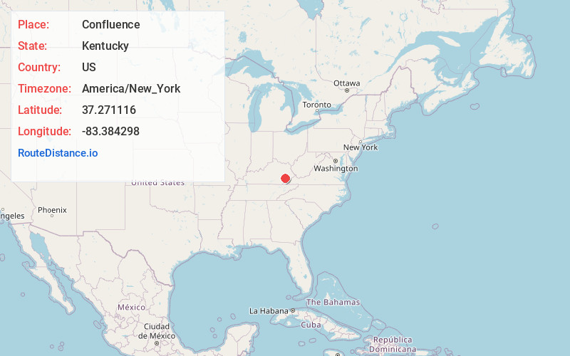
Full AddressConfluence, KY 41749
-
Coordinates37.271116, -83.3842984
-
LocationConfluence , Kentucky , US
-
TimezoneAmerica/New_York
-
Current Local Time4:36:50 PM America/New_YorkTuesday, July 1, 2025
-
Page Views0
About Confluence
Confluence is an unincorporated community located in Leslie County, Kentucky, United States. Its post office is closed.
Due to the Buckhorn dam, the area is prone to flooding. Efforts to address the flooding issue have thus far been in vain as local politicians focus their time and money on other areas.
Nearby Places
Found 10 places within 50 miles

Dunraven
5.1 mi
8.2 km
Dunraven, KY 41754
Get directions
Chavies
5.5 mi
8.9 km
Chavies, KY 41727
Get directions
Red Hill
6.0 mi
9.7 km
Red Hill, KY 41701
Get directions
Pigeonroost Branch
6.1 mi
9.8 km
Pigeonroost Branch, Kentucky
Get directions
Saul
6.1 mi
9.8 km
Saul, KY 41721
Get directions
Butterfly
6.3 mi
10.1 km
Butterfly, KY 41719
Get directions
Thousandsticks
6.4 mi
10.3 km
Thousandsticks, KY 41766
Get directions
Barwick
6.7 mi
10.8 km
Barwick, KY 41339
Get directions
Lamont
6.7 mi
10.8 km
Lamont, KY 41701
Get directions
Avawam
6.8 mi
10.9 km
Avawam, KY 41701
Get directions
Location Links
Local Weather
Weather Information
Coming soon!
Location Map
Static map view of Confluence, Kentucky
Browse Places by Distance
Places within specific distances from Confluence
Short Distances
Long Distances
Click any distance to see all places within that range from Confluence. Distances shown in miles (1 mile ≈ 1.61 kilometers).