Distance to Thousandsticks, Kentucky

Calculating Your Route
Just a moment while we process your request...
Location Information
-
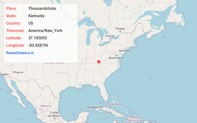
Full AddressThousandsticks, KY 41766
-
Coordinates37.1850916, -83.4287955
-
LocationThousandsticks , Kentucky , US
-
TimezoneAmerica/New_York
-
Current Local Time7:51:03 PM America/New_YorkThursday, June 12, 2025
-
Page Views0
About Thousandsticks
Thousandsticks is an unincorporated community in Leslie County, Kentucky, United States. Thousandsticks is located at the junction of the Hal Rogers Parkway and Kentucky Route 118 3.5 miles northwest of Hyden. Thousandsticks had a post office with ZIP code 41766 which closed in 2005.
Nearby Places
Found 10 places within 50 miles

Hyden
3.5 mi
5.6 km
Hyden, KY 41749
Get directions

Sizerock
4.4 mi
7.1 km
Sizerock, KY 41762
Get directions
Bear Branch
6.8 mi
10.9 km
Bear Branch, KY 41714
Get directions
Saul
7.1 mi
11.4 km
Saul, KY 41721
Get directions
Big Creek
7.8 mi
12.6 km
Big Creek, KY 40914
Get directions
Avawam
8.9 mi
14.3 km
Avawam, KY 41701
Get directions
Eriline
9.0 mi
14.5 km
Eriline, KY 40972
Get directions
Whitaker
9.7 mi
15.6 km
Whitaker, KY 41701
Get directions
Frew
10.1 mi
16.3 km
Frew, KY 41776
Get directions
Dunraven
10.8 mi
17.4 km
Dunraven, KY 41754
Get directions
Location Links
Local Weather
Weather Information
Coming soon!
Location Map
Static map view of Thousandsticks, Kentucky
Browse Places by Distance
Places within specific distances from Thousandsticks
Short Distances
Long Distances
Click any distance to see all places within that range from Thousandsticks. Distances shown in miles (1 mile ≈ 1.61 kilometers).