Distance to Gemfield, Nevada

Calculating Your Route
Just a moment while we process your request...
Location Information
-
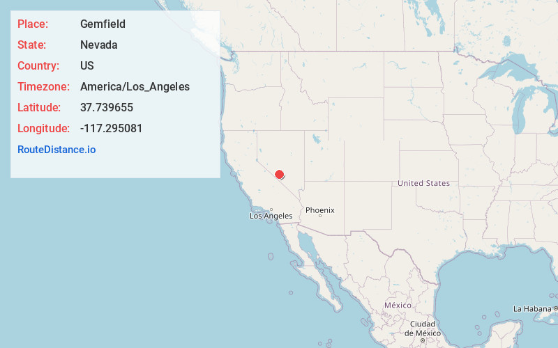
Full AddressGemfield, NV
-
Coordinates37.7396547, -117.2950812
-
LocationGemfield , Nevada , US
-
TimezoneAmerica/Los_Angeles
-
Current Local Time8:48:33 AM America/Los_AngelesFriday, June 20, 2025
-
Page Views0


Nearby Places
Found 10 places within 50 miles

West Spring
1.8 mi
2.9 km
West Spring, NV 89013
Get directions

Goldfield
3.9 mi
6.3 km
Goldfield, NV 89013
Get directions
Florence Hill
4.7 mi
7.6 km
Florence Hill, NV 89013
Get directions
Montezuma
4.7 mi
7.6 km
Montezuma, NV
Get directions

Alkali
6.4 mi
10.3 km
Alkali, NV
Get directions

Silver Peak
18.6 mi
29.9 km
Silver Peak, NV 89047
Get directions
Weepah Nevada Mining Company Mines
19.5 mi
31.4 km
Weepah Nevada Mining Company Mines, Nevada
Get directions

Blair
19.6 mi
31.5 km
Blair, NV 89047
Get directions

Lida
22.4 mi
36.0 km
Lida, NV 89013
Get directions

Tonopah
23.0 mi
37.0 km
Tonopah, NV 89049
Get directions
Location Links
Local Weather
Weather Information
Coming soon!
Location Map
Static map view of Gemfield, Nevada
Browse Places by Distance
Places within specific distances from Gemfield
Short Distances
Long Distances
Click any distance to see all places within that range from Gemfield. Distances shown in miles (1 mile ≈ 1.61 kilometers).