Distance to Lida, Nevada

Calculating Your Route
Just a moment while we process your request...
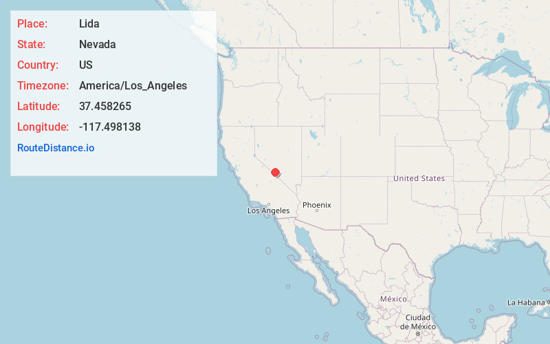
Location Information
-
Full AddressLida, NV 89013
-
Coordinates37.4582645, -117.4981383
-
LocationLida , Nevada , US
-
TimezoneAmerica/Los_Angeles
-
Current Local Time8:48:38 PM America/Los_AngelesThursday, June 19, 2025
-
Page Views0
About Lida
Lida, Nevada is a small ghost town in Esmeralda County, Nevada, near the border with California. The GNIS classifies it as a populated place. It is located on State Route 266, north of Magruder Mountain.
The first white settlers at Lida arrived in 1867.


Nearby Places
Found 10 places within 50 miles

Gold Point
10.2 mi
16.4 km
Gold Point, NV 89013
Get directions

Tokop
16.9 mi
27.2 km
Tokop, NV 89013
Get directions

Silver Peak
21.8 mi
35.1 km
Silver Peak, NV 89047
Get directions
West Spring
22.1 mi
35.6 km
West Spring, NV 89013
Get directions

Goldfield
22.5 mi
36.2 km
Goldfield, NV 89013
Get directions
Florence Hill
23.0 mi
37.0 km
Florence Hill, NV 89013
Get directions

Bonnie Claire
26.2 mi
42.2 km
Bonnie Claire, NV
Get directions

Alkali
26.9 mi
43.3 km
Alkali, NV
Get directions

Deep Springs
27.3 mi
43.9 km
Deep Springs, CA 93513
Get directions
Weepah Nevada Mining Company Mines
32.8 mi
52.8 km
Weepah Nevada Mining Company Mines, Nevada
Get directions
Location Links
Local Weather
Weather Information
Coming soon!
Location Map
Static map view of Lida, Nevada
Browse Places by Distance
Places within specific distances from Lida
Short Distances
Long Distances
Click any distance to see all places within that range from Lida. Distances shown in miles (1 mile ≈ 1.61 kilometers).